 ✨ AI Generated
Donzurubo
Japanese: 屯鶴峯
Kashiba, Nara
This information was written by AI and may contain mistakes. Please check official sources for opening hours, fees, and other details before you go.
Found a mistake? Let us know with “✏️ Something's wrong” on this spot's screen in asobot →
🎧 Audio guide(1:01)
In short
Donzurubo is a scenic spot made of white tuff, located in Anamushi, Kashiba City. Its name comes from the fact that, when viewed from a distance, it looks like a flock of cranes gathered together. It is designated as a Natural Monument of Nara Prefecture and serves as the starting point of the "Diamond Trail," a nature trail that traverses the Kongo-Katsuragi mountain range.
- White Rock Surface: The layers of tuff exposed on the ground surface form beautiful pleats resembling gentle ripples.
- Unusual Rocks and Strata: Notable formations include unusual rocks such as Byobuiwa Rock and Kaeru-ishi Stone, as well as inverted strata and fault crush zones.
- Underground Bunkers: Bunkers were dug by the army toward the end of World War II. Entering is not permitted due to the risk of collapse.
History and Highlights
Donzurubo is a scenic spot at an elevation of 130 to 150 meters, located northwest of Mt. Nijo in Anamushi, Kashiba City. It came to be called by this name because from a distance it looks like cranes gathering together. As a Natural Monument of Nara Prefecture, it is designated under a name that writes "Donzuru" in hiragana rather than kanji. It was designated in 1951 (Showa 26), and adjacent land to the north was additionally designated in the 2025 fiscal year (Reiwa 7).
Over ten million years ago, pyroclastic flows and volcanic ash erupted by the volcanic activity of Mt. Nijo accumulated in water and turned into tuff. It was uplifted by crustal movements and weathered by wind and water, resulting in its present form. The tuff was also used as stone material for sarcophagi during the Kofun period and for temple foundation platforms during the Asuka and Nara periods.
This area is also an ascetic training site of Katsuragi Shugen, and is one of the component cultural properties of the "Katsuragi Shugen" Japan Heritage.
Beneath the white rocks lies another history. Near the end of World War II, the army hollowed out the tuff to construct underground bunkers. Tunnels approximately 3 meters high and 3 to 4 meters wide extend in all directions, totaling 2 kilometers in length. Digging began around June 1945 as a combat command center for the Air General Army in preparation for the decisive battle on the mainland, but the war ended without them ever being used. After the war, a portion has been used as an observation tunnel for crustal movements by the Disaster Prevention Research Institute of Kyoto University.
Viewing and Experience Points
- Pleats of the White Rock Surface: Layers consisting of lapilli tuff, tuff breccia, and fine tuff form beautiful, gentle ripple-like pleats on the ground surface. Forests of Japanese red pine, konara oak, and mochi azalea spread around the rocks.
- Unusual Rocks and Strata: Along with unusual rocks called Byobuiwa Rock and Kaeru-ishi Stone, inverted strata and fault crush zones can also be observed.
- Viewing the Bunkers via Video: The underground bunkers are closed to the public due to the danger of collapse. Kashiba City has released a 3D survey video on its official YouTube channel, allowing viewers to see inside the site that is normally inaccessible.
Tips for Exploring
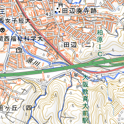
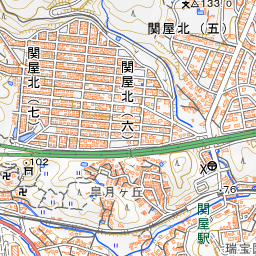
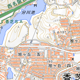
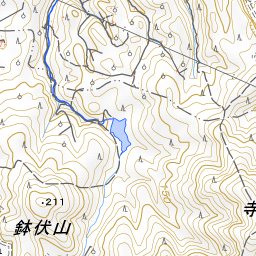
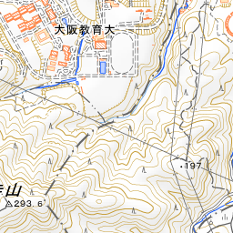
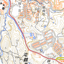
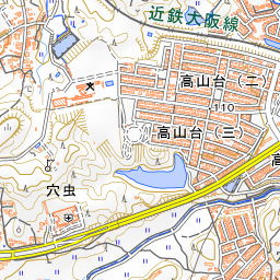
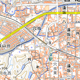
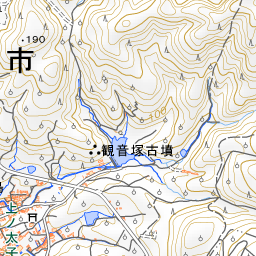
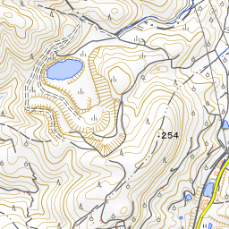
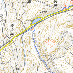
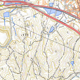
It is located along Prefectural Route 703, approximately 350 meters northeast of Anamushi Pass. It is about a 32-minute walk (approx. 2.6 km) west from Nijozan Station on the Kintetsu Minami-Osaka Line, or about a 36-minute walk (approx. 2.7 km) southwest from Nijo Station on the Kintetsu Osaka Line. Because there is no sidewalk along National Route 165, please be careful when walking. In recent years, Japanese oak wilt has caused many dead trees, so caution is required regarding falling trees and branches. Please do not write graffiti on the rocks. Donzurubo is the starting point of the "Diamond Trail," a nature trail running along the Kongo-Katsuragi mountain range, and the trail continues from here to Mt. Nijo, Mt. Yamato-Katsuragi, and Mt. Kongo.


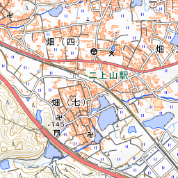
Spot location © OpenStreetMap contributors (ODbL)
Open in Google MapsUse asobot while you walk
- See where you are on the map and find spots nearby
- Listen to the guide's audio in course order, one after another (with subtitles)
- Walk to the next spot while following the map
Open on your phone
Scan to open this spot in asobot on your phone.