 ✨ AI Generated
Momijidani Park
Japanese: 紅葉谷公園
Hatsukaichi, Hiroshima
This information was written by AI and may contain mistakes. Please check official sources for opening hours, fees, and other details before you go.
Found a mistake? Let us know with “✏️ Something's wrong” on this spot's screen in asobot →
🎧 Audio guide(1:00)
In short
Momijidani Park extends along the Momijidani River flowing at the foot of Mt. Misen, and with about 700 maple trees, it is a leading spot for autumn leaves on Miyajima. The valley landscape bears the history of recovery from the disaster caused by the Makurazaki Typhoon in 1945.
- Garden-like Erosion Control: Built without damaging the large rocks in the valley, without cutting down trees, and using the stones on site, the "Momijidani River Garden Sabo Facility" became the first postwar civil engineering structure in Japan to be designated a national Important Cultural Property in 2020
- Entrance Momiji Bridge: Momiji Bridge spans the park entrance. It is the entrance to the valley surrounded by fresh spring greenery or autumn foliage
- Fresh Greenery and Autumn Foliage: The autumn foliage is usually at its best from mid- to late November. From spring into summer, the fresh green leaves are beautiful, making it an enjoyable place to visit across different seasons
History and Highlights
Momijidani Park extends along the Momijidani River flowing at the foot of Mt. Misen, located behind Itsukushima Shrine. True to its name (meaning "autumn foliage valley"), it has about 700 maple trees, making it a leading spot for autumn leaves on Miyajima. Japanese maples (iroha kaede) are the most numerous at around 560 trees. In addition, you can see large-leaved maples (oomomiji), striped-bark maples (urihadakaede), and mountain maples (yamamomiji).
The present valley landscape bears the history of recovery from a postwar disaster. In September 1945, the Makurazaki Typhoon caused landslides upstream along the Momijidani River, and debris flows buried the Momiji Bridge, inns, and Itsukushima Shrine one after another. In the restoration work that began in 1948, the decision was made not to damage the large rocks in the valley, not to cut down trees, and to use the stones on site, creating erosion control (sabo) facilities designed like a traditional garden. In 2020, this "Momijidani River Garden Sabo Facility" became the first postwar civil engineering structure in Japan to be designated a national Important Cultural Property.
Viewing and Experience Points
- Entrance Momiji Bridge: Momiji Bridge spans the park entrance. Cross the bridge to step into the valley surrounded by fresh spring greenery or vibrant autumn foliage.
- Garden-like Erosion Control: Large stones are assembled inside the river flow and along the banks in forms close to nature. While serving as disaster prevention structures, their design blends seamlessly into the valley scenery, and you can observe them up close while walking.
- Fresh Greenery and Autumn Foliage: The autumn foliage is usually at its best from mid- to late November. From spring into summer, the fresh green leaves are beautiful, making it an enjoyable place to visit across different seasons.
Travel Tips
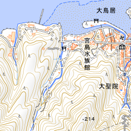
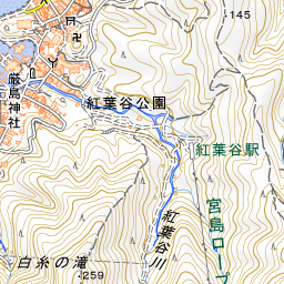
Momijidani Park is just a short walk from behind Itsukushima Shrine. Walking further inside the park leads to the path toward Momijidani Station of the Miyajima Ropeway, which takes you up Mt. Misen. Detailed information on Momijidani Station and Mt. Misen is provided in their respective spot guides. The peak autumn foliage season gets especially crowded, so allow yourself plenty of time if you wish to stroll at a leisurely pace.


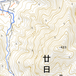
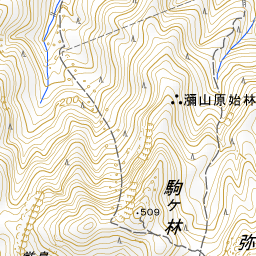
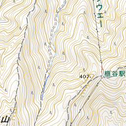
Spot location © OpenStreetMap contributors (ODbL)
Open in Google MapsGuides that include this spot (1)
Use asobot while you walk
- See where you are on the map and find spots nearby
- Listen to the guide's audio in course order, one after another (with subtitles)
- Walk to the next spot while following the map
Open on your phone
Scan to open this spot in asobot on your phone.