 ✨ AI Generated
Mt. Hachijo-Fuji
Japanese: 八丈富士
Hachijo Town, Tokyo
This information was written by AI and may contain mistakes. Please check official sources for opening hours, fees, and other details before you go.
Found a mistake? Let us know with “✏️ Something's wrong” on this spot's screen in asobot →
🎧 Audio guide(1:02)
In short
Mt. Hachijo-Fuji is a volcano rising in the northwestern part of Hachijojima Island. At an elevation of 854.3 meters, it is the highest peak in the Izu Islands. It received "Fuji" in its name due to its resemblance to Mt. Fuji. It is known for the "ohachi-meguri" walk around the rim of its summit crater, and its silhouette with widely spreading slopes is one of the representative sights of Hachijojima Island.
- Ohachi-meguri (Crater Rim Walk): Take about an hour to circle the crater rim, enjoying a 360-degree view of the ocean and the townscape.
- A Well-like Crater: Look down into a steeply sunken crater shaped like a well, which is rare in Japan.
- Sengen-jinja Shrine Inside the Crater: Descend about 10 minutes into the crater to find Sengen-jinja Shrine surrounded by forest.
History and Highlights
Mt. Hachijo-Fuji occupies the northwestern part of Hachijojima Island. In contrast to Mt. Mihara in the east, it is also called "Nishiyama" (West Mountain). Hachijojima Island is a gourd-shaped island formed by the connection of these two volcanoes, Mt. Hachijo-Fuji and Mt. Mihara.
With an elevation of 854.3 meters, it is the highest mountain in the Izu Islands. Because it resembles Mt. Fuji, the name "Fuji" was given to it. Its graceful appearance with broadly spreading skirts is one of the representative scenic beauties of Hachijojima Island.
Mt. Hachijo-Fuji is a young volcano that began its activity between 10,000 and 20,000 years ago. It was formed by the accumulation of lava consisting mainly of basalt. It has not erupted since an eruption in 1605, but Hachijojima Island is still an active volcano that the Japan Meteorological Agency monitors continuously.
The summit crater is 400 meters in diameter and 50 meters deep. At the bottom of the crater lies a flat-topped hill of lava, forming a double volcano structure where another mountain exists inside the crater. It is a crater that drops down in the shape of a well, a rarity in Japan.
Highlights for Viewing and Experiencing
- Circle the crater on the ohachi-meguri walk: Walk around the rim of the summit crater in about an hour. While walking, look down at the trees and pond growing inside the crater, with a 360-degree view of the sea and townscape unfolding outside. On clear days, you can also see Hachijokojima Island floating on the ocean.
- Visit Sengen-jinja Shrine inside the crater: Descending about 10 minutes from the crater rim path into the crater brings you to Sengen-jinja Shrine, nestled in the woods.
- View the ranch on the mountainside: Fureai Farm spreads across the mountainside of Mt. Hachijo-Fuji, where Japanese Black cattle and Jersey cattle graze on the gentle slopes. From the farm's observation deck, you can look out over the island center, Mt. Mihara, and Hachijojima Airport.
Tips for Exploring
The 7th station of Mt. Hachijo-Fuji is circled by the Hachimaki Road, allowing for pleasant drives. The trailhead at the 7th station is about a 15-minute drive from Hachijojima Airport. Climbing 1,280 steps from the trailhead leads to the path for the ohachi-meguri crater rim walk. Along the rim trail, there are many spots where the footing is obscured by thick grass, as well as places with cracks and holes. Please watch your step as you walk. Beautiful views of Mt. Hachijo-Fuji can also be enjoyed from the plaza at Hachijo Botanical Park.
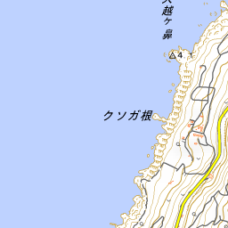
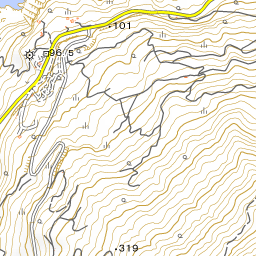
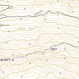
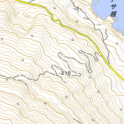


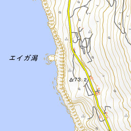
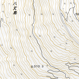


Spot location © OpenStreetMap contributors (ODbL)
Open in Google MapsGuides that include this spot (1)
Use asobot while you walk
- See where you are on the map and find spots nearby
- Listen to the guide's audio in course order, one after another (with subtitles)
- Walk to the next spot while following the map
Open on your phone
Scan to open this spot in asobot on your phone.