 ✨ AI Generated
Heart Rock
Japanese: ハートロック
Ogasawara Village, Tokyo
This information was written by AI and may contain mistakes. Please check official sources for opening hours, fees, and other details before you go.
Found a mistake? Let us know with “✏️ Something's wrong” on this spot's screen in asobot →
🎧 Audio guide(0:57)
In short
Heart Rock is a large, red, heart-shaped rock located on the southern sea cliffs of Chichijima Island. Its official name is Chihiro-iwa, and when viewed from the sea, its reddish rock face looks like a heart. From land, you can hike through the forest to reach the top of the rock by accompanying a guide who holds an entry permit.
- The Heart Viewed from the Sea: The heart pattern can be clearly seen from the water side. Ocean boat tours sometimes stop here.
- View from the Top of the Rock: You can stand atop a sheer cliff rising about 200 meters above Maruberi Bay. At the summit, a vast panorama of the Pacific Ocean spreads out before you.
- Highlights along the Forest Trail: Along the route, there are many highlights, including wartime ruins and banyan tree forests.
History and Highlights
Heart Rock is a massive red, heart-shaped rock situated on the southern precipice of Chichijima Island. Officially named Chihiro-iwa, it is a rocky mountain rising 260 meters above sea level. When viewed from out on the ocean or from the eastern shore of Minamijima Island, it appears in the shape of a heart.
Overlooking Maruberi Bay, the rock sits on a sheer sea cliff of about 200 meters, making for a truly impressive sight.
The reason for its red color is related to the island's geological origin. The area stretching from Minamizaki and Chihiro-iwa in southwestern Chichijima Island to Minamijima Island corresponds to the skirts of an ancient volcano. When this land emerged and underwent erosion, Chichijima Island was situated further south in the tropics, causing the ground surface to be covered with a red soil known as laterite. It is explained that this red earth was washed down by rain and dyed the colossal rock red, creating the red Heart Rock.
The area where Chihiro-iwa is located is a designated preservation zone within a forest ecosystem reserve. Therefore, visiting by land requires accompanying a guide with an entry permit. Together with a guide, you can walk through the forest to reach the rock and stand atop it.
Viewing and Experience Highlights
- Great Panorama from the Rock Summit: Along the trail, there are spots that offer sweeping views of surrounding areas, such as Hahajima Island and Minamijima Island. At the top, a grand panorama of the Pacific Ocean awaits. In the sea directly below, you might see swimming dolphins, or humpback whales from winter through spring.
- Red Rock Face: Continuing along the mountain path, reddish-brown rock faces appear. It is explained that this color comes from being dyed by red soil formed in the tropics.
- Highlights along the Forest Trail: Along the path, there are many points of interest, such as wartime historical remains and banyan forests. In the subtropical forest, endemic plants of Ogasawara can also be observed.
Tips for Exploring
When going by land, you must join a tour led by a guide who has an entry permit. Within the preservation zone, access is restricted to designated routes. Tours accompanied by a guide generally follow a course walking from Kominato Enchi in Kitafukurozawa. The hike is roughly a 2.5-hour trek one way, covering an 8-kilometer round trip. Most of the path consists of wartime military roads, but on Mount Tsuitateyama, there are sections where you must hike holding onto ropes. Light mountaineering gear and experience are required. Because there are no restrooms along the trail, please use the facilities at the trailhead parking area beforehand. There is also no drinking water along the route, so be sure to bring drinks. If you want to get a good look at the heart shape, ocean tours are another option. From Heart Rock, Kominato Coast is about 2.1 km to the north-northwest, and John Beach is about 2 km to the west.
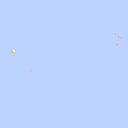
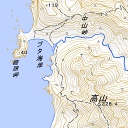
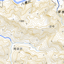
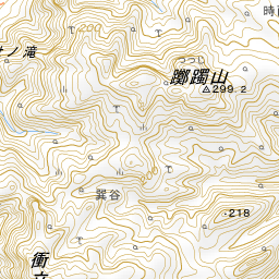
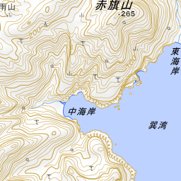
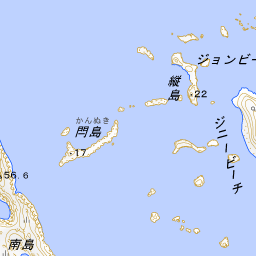
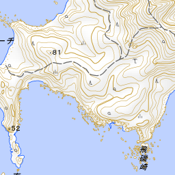
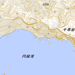
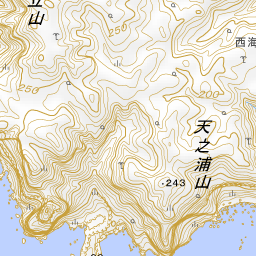
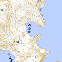
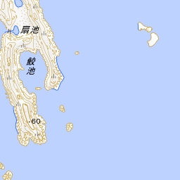
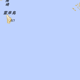

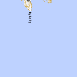
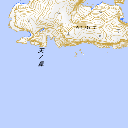
Spot location © OpenStreetMap contributors (ODbL)
Open in Google MapsUse asobot while you walk
- See where you are on the map and find spots nearby
- Listen to the guide's audio in course order, one after another (with subtitles)
- Walk to the next spot while following the map
Open on your phone
Scan to open this spot in asobot on your phone.