 ✨ AI Generated
Ikegami Sone Ruins
Japanese: 池上曽根遺跡
Izumi, Osaka
This information was written by AI and may contain mistakes. Please check official sources for opening hours, fees, and other details before you go.
Found a mistake? Let us know with “✏️ Something's wrong” on this spot's screen in asobot →
🎧 Audio guide(1:06)
In short
The remains of a moat-encircled settlement (kango shuraku) from the Yayoi period, spanning Ikegami-cho in Izumi City and Sone-cho in Izumiotsu City. Known as one of Japan's foremost sites in both scale and content, it was designated as a National Historic Site in 1976 (Showa 51). In the middle Yayoi period, when the settlement was at its most organized, a large ditch measuring 7 meters wide encircled the settlement in an elliptical shape, and about 500 people are believed to have lived inside it.
- Izumi no Takadono: The area has been developed as the Ikegami Sone Historic Site Park, where a large raised-floor building without walls has been reconstructed. One of the pillars left in the remains of the large building found at the center was shown by dendrochronology (tree-ring dating) to be made of wood felled in 52 BC
- Yayoi no Oido: A well whose well curb was hollowed out from a giant camphor tree trunk 2.3 meters in diameter, considered the largest hollowed-log well in Japan
- Ikegami Sone Yayoi Learning Center: At the learning center in the northern part of the park, visitors can make pottery and magatama beads, as well as try on Yayoi-period attire
History and Highlights
The Ikegami Sone Ruins are the remains of a moat-encircled settlement (kango shuraku) from the Yayoi period, spanning Ikegami-cho in Izumi City and Sone-cho in Izumiotsu City. Known as one of Japan's foremost sites in both scale and content, it was designated as a National Historic Site in 1976 (Showa 51). The total area of the site is estimated to be approximately 600,000 square meters, with its central portion of about 110,000 square meters designated as the historic site.
The settlement was at its most organized during the middle Yayoi period. A large ditch measuring 7 meters wide encircled an elliptical area 300 meters east-to-west by 400 meters north-to-south, where it is believed about 500 people lived. Many stone harvesting knives and farming tools tell of rice cultivation, while stone arrowheads and octopus pots reflect a life of hunting and fishing. In addition to locally made pottery, items transported from Kii, Settsu, and Kawachi were found mixed in, indicating that this settlement was a regional hub.
In an excavation survey conducted in 1995 (Heisei 7), the remains of a large building measuring 19.2 meters east-to-west, 6.9 meters north-to-south, and covering an area of 133 square meters were discovered in the center of the settlement. Dendrochronology (tree-ring dating) revealed that one of the remaining pillars was made of wood felled in 52 BC. This traced the era back 100 years earlier than previously estimated, leaving a significant mark on the study of the Yayoi period.
Viewing and Experience Highlights
- Izumi no Takadono: The area has been developed as the Ikegami Sone Historic Site Park, where the large building has been reconstructed. It is a raised-floor building without walls, and its overall form was determined based on a depiction of a building drawn on pottery unearthed nearby. Following a nationwide naming contest, it was given the nickname "Izumi no Takadono."
- Yayoi no Oido: The well on the south side of the building features a well curb hollowed out from a giant camphor tree trunk 2.3 meters in diameter, which is considered the largest hollowed-log well in Japan. Around the well is a "ritual site" where stone implements and pottery were buried, and adjacent to it are the remains of a workshop where bronze and iron implements were produced.
- Yayoi Information Center and Yayoi Learning Center: The park consists of an outdoor reconstruction zone replicating the settlement from 2,000 years ago, the Ikegami Sone Yayoi Information Center offering guidance, and the Ikegami Sone Yayoi Learning Center where visitors can experience the Yayoi period. At the learning center located in the northern part of the park, visitors can make pottery and magatama (comma-shaped beads), as well as try on Yayoi-period attire.
Walking Tips
To the south of the park is the Osaka Prefectural Museum of Yayoi Culture, where the actual pillars of the large building can be seen. Visiting both allows for a broader and deeper understanding of the Yayoi period. It is about a 7-minute walk west from Shinodayama Station on the JR Hanwa Line, and taking the brown-paved street on the south side of the station serves as a shortcut.
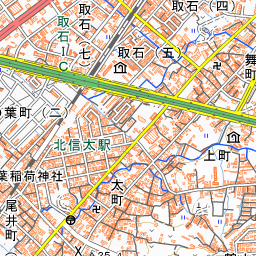


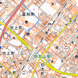
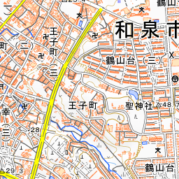
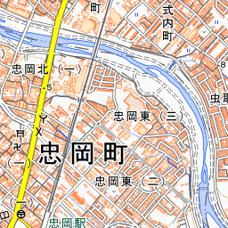
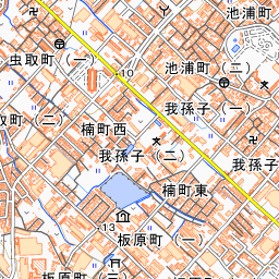
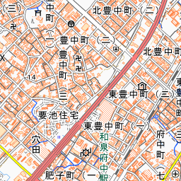
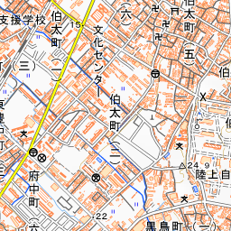
Spot location © OpenStreetMap contributors (ODbL)
Open in Google MapsGuides that include this spot (1)
Use asobot while you walk
- See where you are on the map and find spots nearby
- Listen to the guide's audio in course order, one after another (with subtitles)
- Walk to the next spot while following the map
Open on your phone
Scan to open this spot in asobot on your phone.