 ✨ AI Generated
Mt. Takami
Japanese: 高見山
Higashiyoshino Village, Nara
This information was written by AI and may contain mistakes. Please check official sources for opening hours, fees, and other details before you go.
Found a mistake? Let us know with “✏️ Something's wrong” on this spot's screen in asobot →
🎧 Audio guide(1:05)
In short
Mt. Takami is a 1,248-meter-high mountain towering on the border between Higashiyoshino Village in Nara Prefecture and Mie Prefecture. Situated at the northern end of the Daiko Mountains, it is also referred to as the "Matterhorn of Kansai." It has been an object of worship since ancient times and attracts hikers throughout the four seasons. It is particularly known for the beauty of its rime ice and frosted trees in winter.
- Beech Forests with Rime Ice: In midwinter, the mountain cloaked in rime ice looks even more spectacular.
- View from the Summit: The area around the summit is a bamboo grass meadow offering panoramic views of the surrounding mountains.
- Legends and Poems: Legends of Emperor Jinmu's Eastern Expedition remain here, and a stone monument inscribed with a poem by Motoori Norinaga stands at Otoge Pass.
History and Highlights
Mt. Takami is a mountain rising along the prefectural border between Higashiyoshino Village in Nara Prefecture and Mie Prefecture. With an elevation of 1,248 meters, it is located at the northern edge of the Daiko Mountains. Marking the historical provincial boundary between Yamato and Ise, it was traversed by the Ise Kaido highway. Upon exiting the Kotsu Tunnel on Route 166, the conical silhouette of the mountain immediately comes into view. This mountain is also known as the "Matterhorn of Kansai."
It has been revered as an object of faith since ancient times, and legends associated with Emperor Jinmu's Eastern Expedition still remain. In the Man'yoshu (Collection of Ten Thousand Leaves), there is a poem composed by Minister Isonokami, who accompanied Empress Jito on her imperial visit to Ise, expressing his yearning for his wife: "Is it because Mt. Izami is so high, or because the land is so far away, that I cannot see Yamato where my beloved dwells?" The "Izami no Yama" mentioned here is generally considered to refer to Mt. Takami. At Otoge Pass, there is also a stone monument engraved with a poem by Motoori Norinaga: "Its peak hidden by white clouds, Mt. Takami; how tantalizing the unseen autumn colors of the leaves."
The mountain is bustling with hikers in all four seasons. In winter in particular, it is renowned for the beauty of its rime and frost-covered trees. Mie Prefecture's tourist information notes that rime ice and frosted trees can be enjoyed from late December to late February.
Viewing and Experience Points
- Beech Forests with Rime Ice: The trail from Otoge Pass to the summit climbs a steep slope. Before long, you enter a beech forest sparkling with rime ice in the morning sun. Mt. Takami in the depths of winter presents an even more beautiful sight when draped in rime ice.
- Summit Views and Rocks: As its name suggests, the summit offers fine views overlooking the mountains of Mie and the Daiko Mountains. The summit area is covered with bamboo grass and low trees. There are rocks with historical lore, such as Kunimi-iwa and Yurugi-iwa, as well as Fuefuki-iwa, which provides an excellent lookout.
- Takamisugi Cedar and the Mountain in Early Summer: On the plateau of the Shimohirano trail stand a refuge hut and the Takamisugi Cedar, said to be over 700 years old. In early summer, the fresh greenery of the summit's beech trees and the clear streams flowing through the forest of Ashidani Valley are beautiful, with lacecap hydrangeas and small hydrangeas coloring the mountain path.
Walking Tips
The hiking trails mix steep climbs with gentle stretches and are considered suitable for intermediate hikers and above. The most frequently walked climbing route is the trail starting from Sugitani. Other options include the trail climbing from Hirano, or a traverse route from Otoge Pass to Mt. Myojin in the Daiko Mountains. It takes 2 hours and 30 minutes from the Mt. Takami trailhead to the summit, and 1 hour and 50 minutes from the summit to Shimohirano.
There is also a course where hikers climb to the summit from the Mt. Takami trailhead and descend toward Takasumi Onsen. Takasumi no Sato is a convenient day-use hot spring facility featuring firewood-heated baths, cypress baths, and open-air rock baths. When traveling by train and bus, take the Nara Kotsu Bus from Kintetsu Haibara Station to Higashiyoshino Village Office, then transfer to the village community bus. Niukawakami-jinja Shrine Nakasha is located approximately 10 kilometers to the west-southwest.
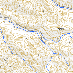
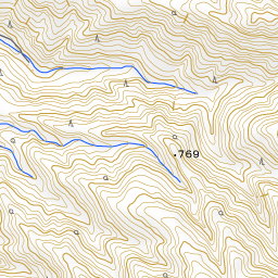
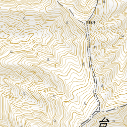
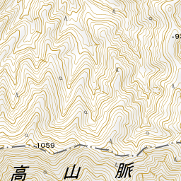
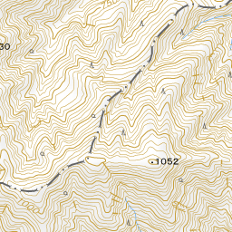
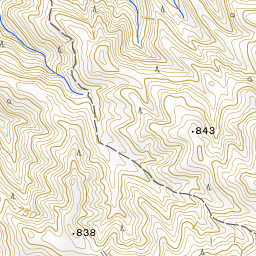
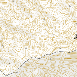
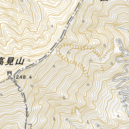
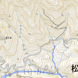
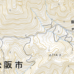
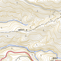
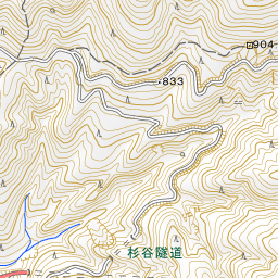
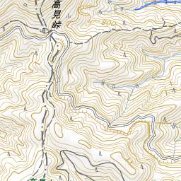
Spot location © OpenStreetMap contributors (ODbL)
Open in Google MapsUse asobot while you walk
- See where you are on the map and find spots nearby
- Listen to the guide's audio in course order, one after another (with subtitles)
- Walk to the next spot while following the map
Open on your phone
Scan to open this spot in asobot on your phone.