 ✨ AI Generated
Mt. Miminashi
Japanese: 耳成山
Kashihara, Nara
This information was written by AI and may contain mistakes. Please check official sources for opening hours, fees, and other details before you go.
Found a mistake? Let us know with “✏️ Something's wrong” on this spot's screen in asobot →
🎧 Audio guide(1:08)
In short
Mt. Miminashi is one of the Yamato Sanzan Mountains and, at an elevation of 139.7 meters, is the lowest of the three mountains. It presents a beautiful conical shape from any direction, and it is said to have been named "Miminashi" due to this harmonious, rounded appearance. Because Mt. Miminashi lies on the central axis of Fujiwara-kyo, it is presumed to have served as a reference point for urban planning in ancient Yamato.
- Conical Appearance: An isolated peak formed by a volcanic eruption, the mountain is said to take its name from its perfectly round shape without distinct foot slopes.
- Miminashiyamaguchi-jinja Shrine: Long cherished as a place to pray for rain, the shrine keeps a sangaku (votive mathematical tablet) dedicated in 1854 in its office.
- Miminashiyama Park: Located at the southern foot of the mountain, this park is known for its beautiful cherry blossoms.
History and Highlights
Mt. Miminashi is one of the peaks known alongside Mt. Unebi and Mt. Amanokagu as the Yamato Sanzan Mountains. The Yamato Sanzan Mountains were designated as a National Place of Scenic Beauty in 2005 (Heisei 17). With an elevation of 139.7 meters, it is the lowest of the three mountains. It is an isolated peak formed by volcanic eruptions and belongs to the Setouchi volcanic zone. It is believed to have originally been a taller mountain that sank due to the subsidence of the basin, leaving behind a small conical hill.
In the Man'yoshu (Collection of Ten Thousand Leaves), it was recorded with the characters for "Miminashiyama" (耳梨山). Its name literally means "no ears" (miminashi), signifying a perfectly round mountain without foot slopes. Indeed, it appears as a clean cone from every direction. Gardenia trees (kuchinashi, homophonous with "no mouth") grow on the mountain, and Menashi Pond ("no eyes") sits at its base, leading to the saying that the "three absences"—ears, mouth, and eyes—are all brought together here.
Mt. Miminashi corresponds to the central axis of Fujiwara-kyo. For this reason, it is presumed to have served as the benchmark for ancient Yamato city planning. The Man'yoshu preserves a poem composed by Prince Naka no Oe regarding a dispute among the Yamato Sanzan Mountains, telling of how Mt. Kagu (Mt. Amanokagu) and Mt. Miminashi fought over Mt. Unebi.
Highlights for Visitors
- Miminashiyamaguchi-jinja Shrine: Located halfway up the mountain, this shrine enshrines Oyamatsumi-no-Kami and Takamimusubi-no-Kami. Affectionately called "Tenjin-san" by locals, it has long been revered as a deity for rain prayers. Frequent records of rain-making rituals remain today.
- Origin of Hiburizaka: It is said that in the past, villagers of Kihara Village (now Kihara-cho), led by the chief priest, held up torches as they climbed to visit the shrine and pray. This is said to be the origin of the name of Hiburizaka ("torch-swinging slope"), one of the trailheads.
- Sangaku: In the shrine office, there is a sangaku dedicated in 1854. This wooden tablet records four types of geometric problems and their solutions.
Walking Tips
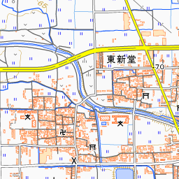
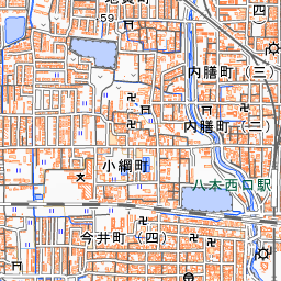
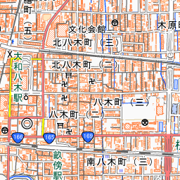
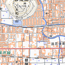
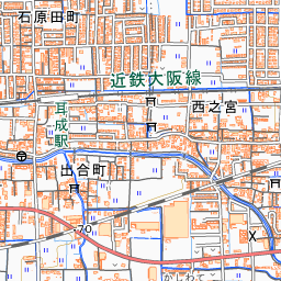
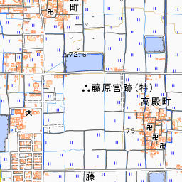
Mt. Miminashi is approximately a 15-minute walk from both Kintetsu Miminashi Station and Kintetsu Yamato-Yagi Station. At the southern foot lies Miminashiyama Park, renowned for its cherry blossoms. The Yamato Sanzan Mountains have gentle slopes overall and well-maintained walking paths, attracting visitors who enjoy strolling throughout the seasons. It takes about 20 minutes one way from the trailhead to the summit. Connecting all three mountains makes for a pleasant hike. From the Fujiwara Palace Site to the south, you can view the ridgelines of the Yamato Sanzan Mountains.
Spot location © OpenStreetMap contributors (ODbL)
Open in Google MapsUse asobot while you walk
- See where you are on the map and find spots nearby
- Listen to the guide's audio in course order, one after another (with subtitles)
- Walk to the next spot while following the map
Open on your phone
Scan to open this spot in asobot on your phone.