 ✨ AI Generated
Tamagawadai Park
Japanese: 多摩川台公園
Ota City, Tokyo
This information was written by AI and may contain mistakes. Please check official sources for opening hours, fees, and other details before you go.
Found a mistake? Let us know with “✏️ Something's wrong” on this spot's screen in asobot →
🎧 Audio guide(1:08)
In short
Tamagawadai Park is a park in Ota City that extends for about 750 meters along the hills lining the Tama River. A series of ancient burial mounds (kofun), including the Kamenokoyama Kofun—a National Historic Site—are located within the grounds. It is also cherished as a popular spot for viewing hydrangeas and cherry blossoms.
- Kamenokoyama Kofun: A keyhole-shaped tumulus whose burial mound measured 107.25 meters in length at the time of construction, making it the largest among the Den-en-chofu Kofun Group.
- Kofun Exhibition Room: Located at the park's entrance, this room resembles a cross-section of a burial mound with a corridor-style stone chamber, where visitors can view replicas of excavated artifacts.
- Hydrangea Garden and Observation Deck: Approximately 3,000 to 4,000 hydrangea bushes bloom on the slope, and on clear days, Mount Fuji can be seen from the Tamagawa Hakkei Observation Deck.
History and Highlights
Tamagawadai Park extends for about 750 meters along a narrow ridge of hills that follows the Tama River. It covers an area of approximately 68,000 square meters. The area extending from Den-en-chofu in Ota City to Noge in Setagaya City is one of the few places in Tokyo with a high concentration of ancient burial mounds. The cluster of mounds on the Ota City side is known as the Den-en-chofu Kofun Group, and most of it lies within this park.
Spreading southeast from the park's main gate is the Kamenokoyama Kofun, designated a National Historic Site. At the time of its construction, the burial mound was 107.25 meters long, making it the largest keyhole-shaped tumulus in the Den-en-chofu Kofun Group. Although it has not been excavated, it is thought to have been built in the 4th century based on the shape of the mound. It sits atop a cliff overlooking the Tama River, and it is believed that the edge of the cliff was carved away during construction to make the plateau appear even higher.
To the northwest of the park lies the Horaizan Kofun, a Tokyo Metropolitan Historic Site. Between these two keyhole-shaped mounds is the Tamagawadai Kofun Group, consisting of eight tumuli dating from around the 6th to 7th centuries, which is also designated a Tokyo Metropolitan Historic Site.
Points for Viewing and Experiencing
- Kofun Exhibition Room: An exhibition room located at the entrance to the park. The interior is designed to resemble a cross-section of the circular rear portion of a late 6th-century keyhole-shaped tumulus with a corridor-style stone chamber. In the section corresponding to the stone chamber, visitors can view replicas of items excavated from the Den-en-chofu Kofun Group, such as long swords, magatama (comma-shaped beads), and haniwa (terracotta clay figures).
- Hydrangea Garden and Site of the Former Water Purification Plant: At the southeastern edge, closest to Tamagawa Station, lies the hydrangea garden. Covering the entire slope, roughly 3,000 to 4,000 hydrangeas across seven varieties bloom here, and almost the entire garden can be viewed from an azumaya (gazebo). The hydrangea garden and the adjacent Four Seasons Wildflower Garden occupy the site of the former Chofu Water Purification Plant, which was decommissioned in 1967. The aquatic plant garden was once a sedimentation basin.
- Tamagawa Hakkei Observation Deck: An open plaza located near the intersection of the walking path and the main gate. Tamagawadai Park is designated as one of the "Eight Views of the Tama River" (Tamagawa Hakkei). On clear days, the Tanzawa Mountains, Mount Fuji, and even the Southern Alps can be seen from here.
Walking Tips
The park is about a 1-minute walk from the West Exit of Tamagawa Station. Start by examining the structure of a burial mound at the Kofun Exhibition Room near the entrance, then stroll along the "Copse Pathway" (Zokibayashi no Michi), which traces the cliff line and passes through the burial mounds. The Kamenokoyama Kofun lies to the southeast of the main gate. Proceeding northwest leads past the Tamagawadai Kofun Group, beyond which stands the Horaizan Kofun.
In spring, around 300 Somei-Yoshino cherry trees burst into bloom, allowing visitors to enjoy the blossoms alongside distant views of the Tama River near the observation deck. The Former Den-en-chofu Station Building is located about 750 meters to the north.
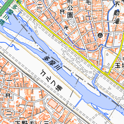
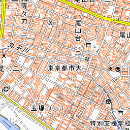
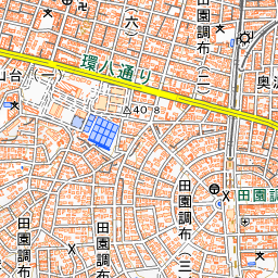
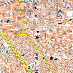
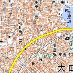
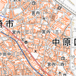
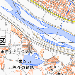
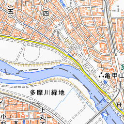
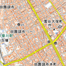
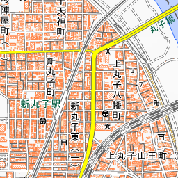
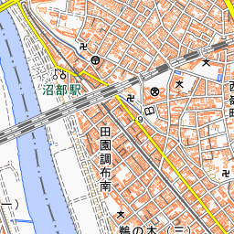

Spot location © OpenStreetMap contributors (ODbL)
Open in Google MapsUse asobot while you walk
- See where you are on the map and find spots nearby
- Listen to the guide's audio in course order, one after another (with subtitles)
- Walk to the next spot while following the map
Open on your phone
Scan to open this spot in asobot on your phone.