
Fumin-no-Mori Narukawa Park
Japanese: 府民の森 なるかわ園地
Higashiosaka, Osaka
This information was written by AI and may contain mistakes. Please check official sources for opening hours, fees, and other details before you go.
Found a mistake? Let us know with “✏️ Something's wrong” on this spot's screen in asobot →
🎧 Audio guide(1:04)
In short
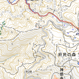
A nature park of Osaka Prefecture spread across the mountainside of Mt. Ikoma, and one of the Fumin-no-Mori parks developed to commemorate the centennial of the prefectural government. It lies at the center of the four park areas of Kusaka, Nukata, Narukawa, and Mizunomi, and with an area of about 204 hectares, it is the largest among the Fumin-no-Mori parks.
- Azalea Garden: About 2,500 bushes of white, red, and pink Hirado azaleas bloom on both sides of a winding hiking trail. They are at their peak from late April to early May
- Bokura no Hiroba and Forest Rest House: A lawn plaza at the highest point of the park, at an elevation of 524 meters, offering a sweeping panorama from the Osaka Plain and Osaka Bay to the Rokko Mountains and Awaji Island. The adjacent Forest Rest House introduces the nature of Mt. Ikoma across the four seasons through display panels
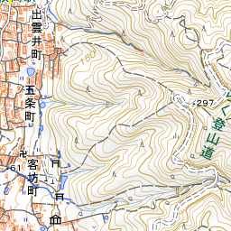
- Rakuraku Mountain Trail: A 2.7-kilometer mountain trail with gentle slopes and handrails, so that visitors using wheelchairs or strollers can also go hiking
History and Highlights
Fumin-no-Mori Narukawa Park is a nature park managed by Osaka Prefecture, spread across the mountainside of Mt. Ikoma. The Fumin-no-Mori parks were developed by Osaka Prefecture at key locations within Kongo-Ikoma-Kisen Quasi-National Park to commemorate the centennial of the prefectural government. On the slopes of Mt. Ikoma, there are four park areas—Kusaka, Nukata, Narukawa, and Mizunomi—connected by walking trails and other paths. Visitors can enjoy sweeping panoramic views of Osaka Prefecture from every park area.
Narukawa Park is located at the center of these four areas and, with an area of about 204 hectares, is the largest among the Fumin-no-Mori parks. Visitors can hike while enjoying the nature of each season, including azaleas in spring and colorful foliage in autumn.
Viewing and Experience Points
- Azalea Garden: White, red, and pink Hirado azaleas bloom on both sides of a winding hiking trail. There are about 2,500 azalea bushes, reaching their peak bloom from late April to early May.
- Bokura no Hiroba and Forest Rest House: This lawn plaza, located at the highest point of the park at an elevation of 524 meters, offers sweeping panoramas stretching from the Osaka Plain and Osaka Bay to the Rokko Mountains and Awaji Island. The adjacent Forest Rest House introduces the nature of Mt. Ikoma across the four seasons through display panels, and visitors can also relax and eat boxed lunches there.
- Rakuraku Mountain Trail: This 2.7-kilometer trail features gentle slopes and handrails so that visitors using wheelchairs or strollers can also enjoy hiking. Along the way, you will find the Miharashi Observation Deck, marked by its distinctive triangular building.
Tips for Exploring
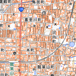
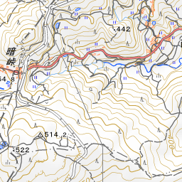
It takes about 40 minutes on foot from Hyotanyama Station on the Kintetsu Nara Line to the Rakuraku Center House at the entrance of the Rakuraku Mountain Trail. The Center House provides information on the highlights of all four park areas. From Hiraoka Station, it takes about 45 minutes on foot to the Mt. Kamitsudake Rest Area via the Mt. Kamitsudake hiking course that passes through Hiraoka Park. The Azalea Garden cannot be reached directly by car, so please wear non-slip shoes for walking on mountain paths. The best season for autumn leaves is from late October to early December. About 930 meters to the northeast lies Kuragari Pass, which traverses the Ikoma Mountains. For highlights of Hiraoka Park and Kuragari Pass, please refer to their respective spot guides.
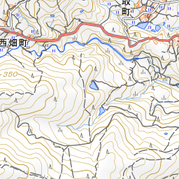
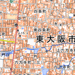
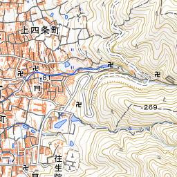
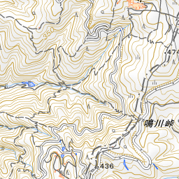
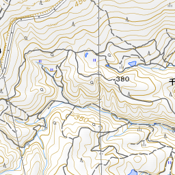
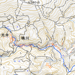
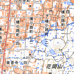
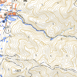
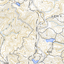
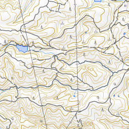
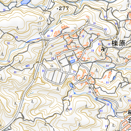
Spot location © OpenStreetMap contributors (ODbL)
Open in Google MapsUse asobot while you walk
- See where you are on the map and find spots nearby
- Listen to the guide's audio in course order, one after another (with subtitles)
- Walk to the next spot while following the map
Open on your phone
Scan to open this spot in asobot on your phone.