 ✨ AI Generated
Unasawa San-taki Waterfalls
Japanese: 海沢三滝
Okutama Town, Tokyo
This information was written by AI and may contain mistakes. Please check official sources for opening hours, fees, and other details before you go.
Found a mistake? Let us know with “✏️ Something's wrong” on this spot's screen in asobot →
🎧 Audio guide(0:56)
In short
Unasawa San-taki is the collective name for three waterfalls—Mitsugama Falls, Nejire Falls, and Otaki Falls—located in the upper reaches of the Unasawa Valley in Okutama Town. It is a place with a scenic landscape of mountain streams and moss-covered rocks. The starting point of the walk is Unasawa Enchi, situated at the terminus of the Unasawa Forest Road.
- Mitsugama Falls: A three-tiered waterfall located about a 10-minute walk from Unasawa Enchi.
- Nejire Falls: A waterfall that turns and drops in the shape of the hiragana character "く".
- Otaki Falls: With a drop of 23 meters, it is the largest waterfall in the valley. The path leading to Otaki Falls is currently posted as closed.
History and Highlights
Unasawa San-taki is the general term for the waterfalls situated in the upper section of the Unasawa Valley in Okutama Town. The Unasawa Valley originates from Mt. Otake, which is counted among the Three Mountains of Okutama along with Mt. Gozen and Mt. Mito. Flowing northward, it forms the Unasawa Gorge and merges into the Tama River.
The three falls are Mitsugama Falls, Nejire Falls, and Otaki Falls. When Fudo Falls, which drops further upstream from Otaki Falls, is included, they are also referred to as the Unasawa Four Falls. However, Fudo Falls cannot be approached due to danger.
The reason the waterfalls formed lies in the rocks of the valley. Layers of a hard sedimentary rock called chert stretch in a belt along the gorge. Differences in rock hardness created steps, and the sections of hard bedrock that resisted erosion formed the waterfalls.
The "Unasawa San-taki Course" trail has been developed for touring the falls, with the mountain stream running right alongside it. However, the path from Nejire Falls to Otaki Falls is currently posted as closed. It is a very beautiful place with moss-covered rocks. Canyoning is also practiced here, where participants jump into the river and slide down waterfalls.
Viewing and Activity Highlights
- Mitsugama Falls: A three-tiered waterfall that appears after crossing a wooden bridge from Unasawa Enchi, following the river, and climbing a set of steel stairs. It takes about 10 minutes to walk from Unasawa Enchi.
- Nejire Falls: Located further along the river from Mitsugama Falls, keeping the river on your left. It is characterized by dropping with a bend shaped like the hiragana character "く".
- Otaki Falls: The largest waterfall in the valley with a 23-meter drop, reached from Nejire Falls by a short climb on a trail that detours high above the stream. However, the mountain trail to this waterfall is closed, and notices say there is no prospect of it being restored.
Walking Tips
The walk starts at Unasawa Enchi, located at the end of the Unasawa Forest Road. The forest road continues upstream from the America Camp Village. On the road, there are places where vehicles cannot pass each other when facing oncoming traffic, requiring cars to back up, so caution is required when driving. There is no parking lot. Walking from Okutama Station on the JR Ome Line to Unasawa Enchi takes about 2 hours over a distance of 5.8 kilometers. Since the paths near the waterfalls are slippery, wear hiking shoes or similar footwear. After rain or during winter, the trail becomes suitable only for those experienced in mountain hiking. Trail closures can change, so please check the latest conditions before heading out.
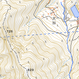
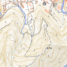
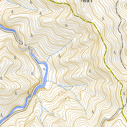
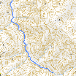
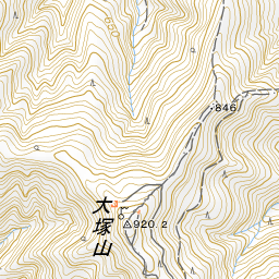
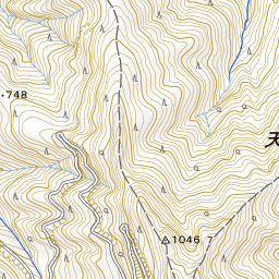
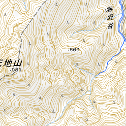

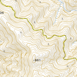
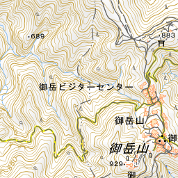
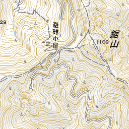
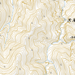
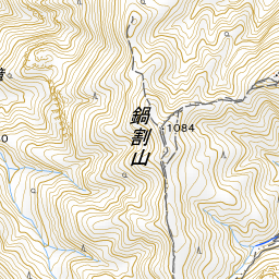
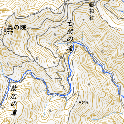
Spot location © OpenStreetMap contributors (ODbL)
Open in Google MapsUse asobot while you walk
- See where you are on the map and find spots nearby
- Listen to the guide's audio in course order, one after another (with subtitles)
- Walk to the next spot while following the map
Open on your phone
Scan to open this spot in asobot on your phone.