 ✨ AI Generated
Volcano Experience Trail
Japanese: 火山体験遊歩道
Miyake Village, Tokyo
This information was written by AI and may contain mistakes. Please check official sources for opening hours, fees, and other details before you go.
Found a mistake? Let us know with “✏️ Something's wrong” on this spot's screen in asobot →
🎧 Audio guide(0:57)
In short
The Volcano Experience Trail is a walking path constructed in 2007 on top of the lava flow from the 1983 eruption in Ako on Miyakejima Island. The remains of Ako Elementary and Junior High School, engulfed by lava, are preserved in the exact condition they were left in following the eruption. This site allows visitors to experience up close the sheer power of the eruption and the restorative resilience of nature sprouting anew.
- A School Swallowed by Lava: View the remains of Ako Elementary and Junior High School, preserved just as they were after being engulfed by the lava.
- Sprawling Lava Fields: Walking along the trail reveals a vast expanse of lava flows stretching before your eyes.
- Returning Greenery: Feel the regenerative power of nature from the plants sprouting up between the lava rocks.
History and Highlights
At around 3:23 p.m. on October 3, 1983, Mt. Oyama on Miyakejima Island suddenly erupted from its mountainside. Fissures opened on the mountain's southwestern slope, and a line of craters stretched all the way to the coast. From these aligned craters, glowing red lava shot up like a curtain to heights of more than 100 meters.
The flowing lava traveled downward while consuming forests, fields, and prefectural roads, reaching Ako, the island's largest settlement, about two hours after the eruption began. Over the course of a single night, the lava burned and buried 330 homes, along with Ako Elementary and Junior High School and a school lunch center. Even so, there were no human casualties.
The land buried in lava was deemed unsuitable for building houses due to concerns that hollow underground spaces might collapse. Consequently, a collective relocation project was carried out, and new settlements were established in three locations.
In 2007, a walking trail was completed atop this lava flow. The remains of Ako Elementary and Junior High School are preserved in their state from the time of the eruption. The trail is a place to witness firsthand the fearsome power of the eruption and the resilience of nature budding from the rock. It also conveys the deep attachment to the island held by its residents, who have rebounded every time after enduring repeated eruptions.
Points of Interest & Experiences
- View the Ruins of the School: Along the trail, you can see the ruins of Ako Elementary and Junior High School engulfed by lava. Preserved just as they were at the time, the school ruins allow you to feel directly the ferocity of the eruption.
- Gaze Across the Expansive Lava Field: From the trail, you can look out over the vast reach of the cooled lava flows. The contrast between the clear blue sky and the black lava creates a view that feels like stepping onto another planet.
- Look for Sprouting Greenery: Be sure to turn your gaze toward the plants taking root between the pieces of lava. Here, you can witness the restorative force of nature returning in the wake of an eruption.
Tips for Exploring
Ako, where the trail is located, is home to Sabigahama Port, one of the gateway ports to the island. With many accommodations and restaurants, it serves as a base for sightseeing on the island. Traces of this eruption can be found across various parts of the island beyond this trail. At Teppoba along the prefectural road, traces of cars submerged in lava still remain. The Imasaki Coast is a plateau created by lava flows during the Edo period, and Megane-iwa Rock is an arch-shaped rock formation sculpted by lava. The Shichito Observation Deck on the flank of Mt. Oyama is situated near where the first craters opened in the 1983 eruption. On clear days, it offers panoramic views of the Izu Islands, from Oshima Island to the north to Hachijojima Island to the south. Most of Miyakejima Island is part of Fuji-Hakone-Izu National Park, and the collection of lava and plants is restricted in the majority of areas, excluding residential and agricultural land. Please refrain from taking pieces of lava home.


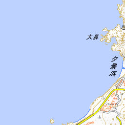
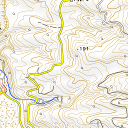
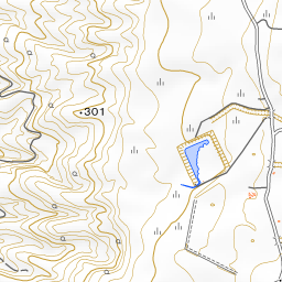


Spot location © OpenStreetMap contributors (ODbL)
Open in Google MapsGuides that include this spot (1)
Use asobot while you walk
- See where you are on the map and find spots nearby
- Listen to the guide's audio in course order, one after another (with subtitles)
- Walk to the next spot while following the map
Open on your phone
Scan to open this spot in asobot on your phone.