 ✨ AI Generated
Tango Matsushima Observation Point
Japanese: 丹後松島展望所
Kyotango, Kyoto
This information was written by AI and may contain mistakes. Please check official sources for opening hours, fees, and other details before you go.
Found a mistake? Let us know with “✏️ Something's wrong” on this spot's screen in asobot →
🎧 Audio guide(1:03)
In short
An observation spot along National Route 178 in Konoshiro, Tango-cho, Kyotango City, near the Inugamisaki Tunnel. Large rocks line up as if flanking the inlet, making numerous small islands appear to float on the sea, and because this view resembles Matsushima in Miyagi Prefecture, it came to be called "Tango Matsushima." It is also selected among the "200 Selections of Kyoto's Nature."
- Views of continuous inlets and rocks: You can take in a panoramic view of the rocks and islets surrounding the inlet, as well as the intricate coastline extending beyond them
- Coastal terraces and the Geopark: Coastal terraces, flat ground layered like staircases, are well developed here, and Tango Matsushima is one of the highlights of the San'in Kaigan Geopark
- Silhouettes at sunrise and sunset: The silhouettes of the rocks bathed in the morning sun are said to be especially beautiful. It is well known as a photography spot for both sunrise and sunset
History and Highlights
Tango Matsushima Observation Point is an observation spot along National Route 178 in Konoshiro, Tango-cho, Kyotango City, near the Inugamisaki Tunnel. From here, visitors can look out over the coast of "Tango Matsushima," which spreads to the east.
Tango Matsushima is the name given to the coast stretching from Konoshiro to Nakahama. Large rocks line the area as if flanking the inlet, making numerous small islands appear to float on the sea. Because this view resembles Matsushima in Miyagi Prefecture—one of Japan's Three Scenic Views—it came to be called Tango Matsushima. It is also selected among the "200 Selections of Kyoto's Nature." Some of the rock formations that resemble islands are connected to the mainland by sandbars.
Along this coast, "coastal terraces"—flat ground layered like staircases—are well developed. Flat rock surfaces carved by waves were lifted by land uplifts and changes in sea level, resulting in this stepped terrain. Tango Matsushima is one of the highlights of the San'in Kaigan Geopark and is also included within the area of the Tango-Amanohashidate-Mt. Oe Quasi-National Park.
Viewing and Experiencing Highlights
- Views of continuous inlets and rocks: From the observation point, you can take in a panoramic view of the rocks and islets surrounding the inlet, as well as the intricate coastline extending beyond them. This coastline continues toward Cape Kyoga to the east.
- Silhouettes at sunrise and sunset: The silhouettes of the rocks bathed in the morning sun are said to be especially beautiful. The silhouettes of the islands under the setting sun are also impressive, making it well known as a photography spot for both sunrise and sunset.
- As one of the coastal landscapes of Tango-cho: Together with Tateiwa Rock and Byobuiwa Rock to the west and Cape Kyoga to the east, Tango Matsushima is registered as a Kyoto Prefecture Landscape Asset under the name "Coastal Landscapes of Tango's Tateiwa, Byobuiwa, Tango Matsushima, and Cape Kyoga." Because National Route 178 passes above sea level, the coastal view can also be enjoyed from a car window.
Travel Tips
The observation point has a parking area, making it an easy stop during a drive around the Tango Peninsula. Because the observation point is right next to a tunnel, please be careful of cars when entering and exiting. According to information from the San'in Kaigan Geopark, a walking trail leads down toward the tip of Inugamisaki Cape from the Konoshiro-side exit of the Inugamisaki Tunnel, along which there is a spot offering a wider panoramic view of Tango Matsushima than from the national route. Please watch your step while walking.
Heading west, you will find Byobuiwa Rock rising from the sea and Tateiwa Rock towering at the mouth of the Takeno River; heading east brings you to Cape Kyoga, the northernmost point of the Kinki region. For details on each, please refer to the respective spot guides.


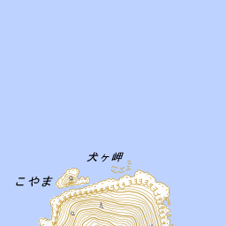


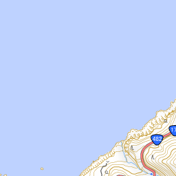
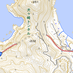
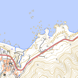
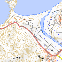


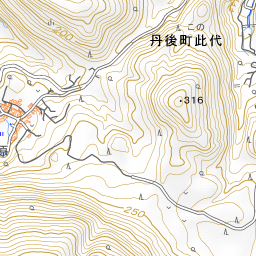
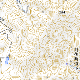
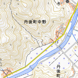
Spot location © OpenStreetMap contributors (ODbL)
Open in Google MapsGuides that include this spot (1)
Use asobot while you walk
- See where you are on the map and find spots nearby
- Listen to the guide's audio in course order, one after another (with subtitles)
- Walk to the next spot while following the map
Open on your phone
Scan to open this spot in asobot on your phone.