 ✨ AI Generated
Showa Kinen Park
Japanese: 国営昭和記念公園
Tachikawa, Tokyo
This information was written by AI and may contain mistakes. Please check official sources for opening hours, fees, and other details before you go.
Found a mistake? Let us know with “✏️ Something's wrong” on this spot's screen in asobot →
🎧 Audio guide(0:55)
In short
Showa Kinen Park is a national government park spanning Tachikawa City and Akishima City, covering a total area of 180 hectares. Built on the former site of the US military's Tachikawa Airfield as part of a project to commemorate the 50th anniversary of Emperor Showa's reign, the park features a vast open field, square-trimmed ginkgo avenues, and a Japanese garden where visitors can enjoy autumn foliage.
- The Large Zelkova of the Open Field: Standing in the center of the roughly 11-hectare open field, this zelkova tree, over 20 meters tall, has stood here since before the park was created.
- Canal: Lined on both sides of a 200-meter waterway are ginkgo trees transplanted from the base era.
- Japanese Garden: A roughly 6-hectare pond-strolling garden (chisen kaiyushiki), which houses the Bonsai Garden, the first national government exhibition facility dedicated to bonsai.
History and Highlights
Showa Kinen Park is a national government park spanning Tachikawa City and Akishima City in Tokyo. Its total area is 180 hectares, with approximately 169.4 hectares currently open to the public.
The history of this land began as an airfield. In 1921 (Taisho 10), the establishment of an army airfield was decided, and the US military requisitioned it in September 1945 (Showa 20). The complete return of Tachikawa Air Base took place in November 1977 (Showa 52).
The park was built on this former site as part of a project commemorating the 50th anniversary of Emperor Showa's reign. On October 26, 1983 (Showa 58), the initial 70 hectares opened, and an opening ceremony was held in the presence of Emperor Showa. The theme is "Restoration of Greenery and Improvement of Humanity."
Highlights for Viewing and Experiencing
- The Large Zelkova of the Open Field: The open field spans an area of about 11 hectares. The large zelkova, standing over 20 meters high in the center, was here before the park was built. It is said that when the designer found this tree, they came up with the idea of creating the open field around it.
- Two Ginkgo Avenues: The Canal is a 200-meter straight waterway lined on both sides by ginkgo trees transplanted from the base era. They are trimmed into rectangular box shapes because the aviation restrictions of the adjacent Japan Self-Defense Forces runway require the trees to be kept at a height of 7 meters. The Katarai Ginkgo Avenue, stretching about 300 meters, retains its natural tree shape, forming a golden tunnel during the peak of yellow leaves in November.
- Japanese Garden and Bonsai Garden: Spanning about 6 hectares, this pond-strolling garden offers constantly changing scenery as you walk around the pond. Deciduous broad-leaved trees, such as Japanese maples, make up 60% of the trees in the garden, and its creation made it possible to enjoy autumn foliage in the park. Inside the garden is the Bonsai Garden, the first national government exhibition facility for bonsai.
Walking Tips
Because the grounds are vast, it is best to enter through the gate closest to the areas you wish to see. The Canal is right inside the Tachikawa Gate, about an 18-minute walk from the North Exit of JR Tachikawa Station. To reach the Open Field, it takes about 15 minutes on foot from the Nishi-Tachikawa Gate, which is about a 2-minute walk from Nishi-Tachikawa Station on the Ome Line. The Flower Hill, the largest flower garden in the park, is about a 4-minute walk from the Sunagawa Gate. For getting around the park, there is a cycling-only course of approximately 14 kilometers, as well as a Park Train that completes a circuit in about 50 to 60 minutes. You can also combine your stroll with a visit to the Emperor Showa Memorial Museum located in the free area, or the adjacent GREEN SPRINGS.
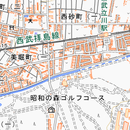
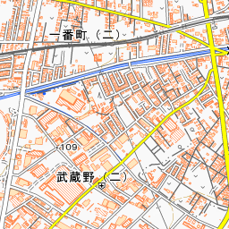
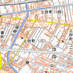
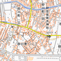
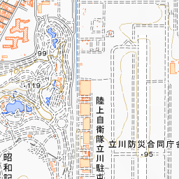
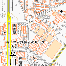
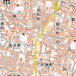
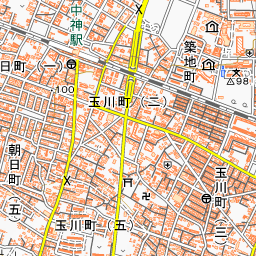
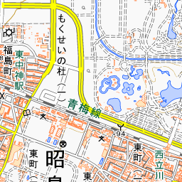
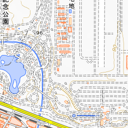
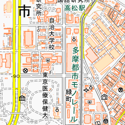
Spot location © OpenStreetMap contributors (ODbL)
Open in Google MapsGuides that include this spot (1)
Use asobot while you walk
- See where you are on the map and find spots nearby
- Listen to the guide's audio in course order, one after another (with subtitles)
- Walk to the next spot while following the map
Open on your phone
Scan to open this spot in asobot on your phone.