 ✨ AI Generated
Chidorigafuchi Greenway
Japanese: 千鳥ヶ淵緑道
Chiyoda City, Tokyo
This information was written by AI and may contain mistakes. Please check official sources for opening hours, fees, and other details before you go.
Found a mistake? Let us know with “✏️ Something's wrong” on this spot's screen in asobot →
🎧 Audio guide(0:59)
In short
Chidorigafuchi Greenway is a walking path about 700 meters long that stretches alongside Chidorigafuchi, a moat on the western side of the Imperial Palace. With about 230 cherry trees including Somei Yoshino and Oshima-zakura, it is known nationwide as a famous cherry blossom viewing spot. The moat itself was created in the early Edo period by damming a river.
- Cherry Blossom Tunnel: The cherry blossoms bloom above the heads of visitors, offering the experience of walking through a tunnel of flowers.
- Views from the Water: A boat pier is located around the midpoint of the greenway, allowing visitors to admire the cherry blossoms from the water of the moat.
- Night Cherry Blossom Illuminations: During the spring "Chiyoda Cherry Blossom Festival," the rows of cherry trees along the greenway are illuminated.
History and Highlights
Chidorigafuchi Greenway is a walking path about 700 meters long that runs along Chidorigafuchi, a moat on the western side of the Imperial Palace. It extends from Yasukuni-dori Avenue to the entrance of the Chidorigafuchi National Cemetery. With about 230 cherry trees, including Somei Yoshino and Oshima-zakura, it is a nationally renowned cherry blossom spot. During the cherry blossom season, many people from around the world visit every year.
The moat beneath the path has a history separate from the cherry blossoms. Chidorigafuchi is an artificial moat that was created in the early Edo period by damming a river into a reservoir. It is explained that around the time the Edo shogunate was established, it functioned as a dam to secure water. It is believed to have originally formed a single large moat together with Hanzo-bori Moat. Stone walls were constructed along the banks of the moat, topped by continuing earthen slopes.
There are various theories regarding the origin of the name "Chidorigafuchi." Stories have been passed down that it was named because many birds such as black-headed gulls (miyakodori) gathered there in winter, or because the V-shaped moat resembles a plover (chidori).
Points for Viewing and Experiencing
- Walking through the Cherry Blossom Tunnel: The cherry blossoms bloom overhead along the path. Visitors can experience what feels like walking through a tunnel of cherry blossoms.
- Viewing from the Water of the Moat: Around the midpoint of the greenway is the ward-operated Chidorigafuchi Boat Pier. In addition to cherry blossoms, visitors can enjoy the lush green season and autumn foliage from the water.
- Night Cherry Blossom Illuminations: During the spring "Chiyoda Cherry Blossom Festival," the rows of cherry trees along the greenway are illuminated. Visitors can also view the cherry blossoms reflected on the surface of the water.
Walking Tips
The entrances to the greenway are a 5-minute walk from either Exit 2 of Kudanshita Station or Exit 5 of Hanzomon Station. On Saturdays and Sundays during the illumination period, foot traffic becomes one-way from Yasukuni-dori Avenue toward the entrance of the Chidorigafuchi National Cemetery, and entry from the Hanzomon side is not permitted. When it is crowded, admission may be restricted. Because there are no shops, stalls, or restaurants along the greenway, it is advisable to prepare drinks and other necessities beforehand.
If you wish to explore further during the cherry blossom season, Chidorigafuchi Park lies across Daikancho-dori Street. Continuing your walk to the adjacent Kitanomaru Park or to Yasukuni-jinja Shrine, located about 500 meters to the northwest, is also a good option.
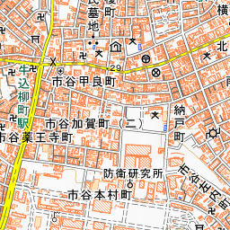
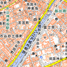

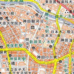
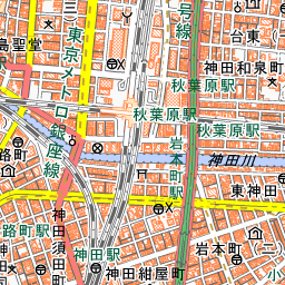
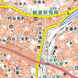
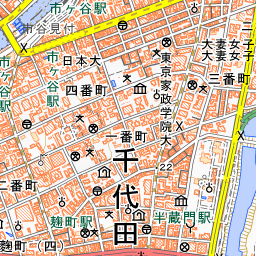
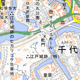
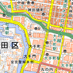
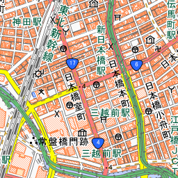
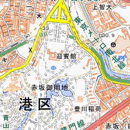
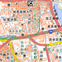
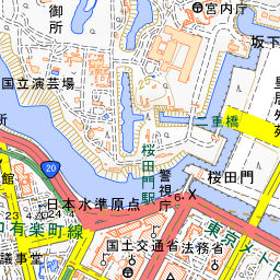
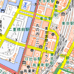
Spot location © OpenStreetMap contributors (ODbL)
Open in Google MapsGuides that include this spot (1)
Use asobot while you walk
- See where you are on the map and find spots nearby
- Listen to the guide's audio in course order, one after another (with subtitles)
- Walk to the next spot while following the map
Open on your phone
Scan to open this spot in asobot on your phone.