 ✨ AI Generated
Ondo-no-Seto Strait
Japanese: 音戸の瀬戸
Kure, Hiroshima
This information was written by AI and may contain mistakes. Please check official sources for opening hours, fees, and other details before you go.
Found a mistake? Let us know with “✏️ Something's wrong” on this spot's screen in asobot →
🎧 Audio guide(1:08)
In short
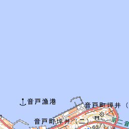
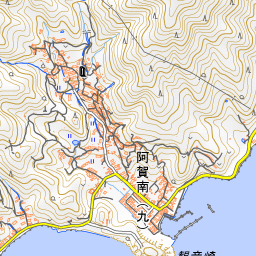
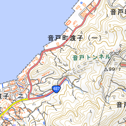
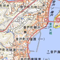
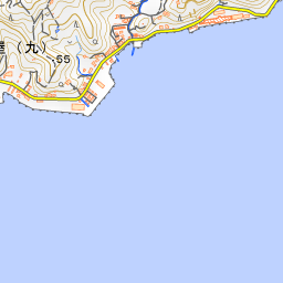
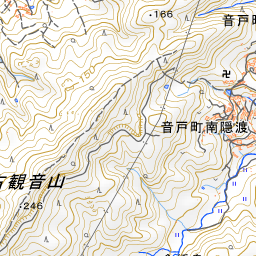
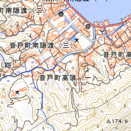
Ondo-no-Seto Strait is a narrow strait roughly 90 meters wide, between Kegoya on the mainland side of Kure City and Ondo-cho on Kurahashijima Island. A legend known as "Himaneki" (calling back the sun) remains here, telling that at the end of the Heian period, Taira no Kiyomori opened the strait in just a single day by beckoning the sinking sun back with a fan. Many vessels traverse this waterway, and it has long been called the "Setouchi Ginza."
- Two Red Arch Bridges: Ondo Bridge, completed in 1961, and the Second Ondo Bridge, affectionately nicknamed the "Himaneki Bridge," which joined it in 2013, span the strait side by side
- Kiyomori's Himaneki-zo Statue: Erected in 1967 to commemorate the 800th anniversary of the strait's excavation, the bronze statue of Kiyomori stands pointing a fan toward the sunset, just as in the legend
- Ondo-no-Seto Park: From the high ground, the park overlooks the two red bridges and the strait. In spring, around 2,300 cherry trees bloom, followed by roughly 8,300 red and white azaleas
History and Highlights
Ondo-no-Seto Strait is a narrow strait roughly 90 meters wide, located between Kegoya on the mainland side of Kure City and Ondo-cho on Kurahashijima Island. A legend known as "Himaneki" (calling back the sun) remains here, telling that at the end of the Heian period, Taira no Kiyomori opened the strait in just a single day by beckoning the sinking sun back into the sky with a fan. While theories vary regarding the historical truth of the legend, the story of Kiyomori and this strait continues to be passed down with great care by local residents today. Many vessels traverse this narrow waterway, leading it to be historically called the "Setouchi Ginza."
Two red arch bridges span side by side across the strait. Completed in 1961, Ondo Bridge was built high above the water to allow large ships to pass underneath, making it the largest road bridge of its kind in Japan at the time of its completion. In 2013, it was joined by the Second Ondo Bridge, affectionately nicknamed the "Himaneki Bridge."
Highlights and Experiences
- Ondo-no-Seto Park Overlooking the Strait: Located on the high ground of the Kegoya side, this park overlooks the strait and the two red bridges. In spring, around 2,300 cherry trees bloom, followed by roughly 8,300 red and white azaleas, allowing visitors to enjoy the views of the bridges framed by blossoms.
- Tracing the Legend of Kiyomori: Erected in 1967 to commemorate the 800th anniversary of the strait's excavation, the bronze "Himaneki-zo" statue of Kiyomori stands pointing a fan toward the sunset, just as depicted in the legend. On the opposite bank in Ondo-cho stands "Den-Kiyomori-zuka," a prefectural historic site said to have been erected as a memorial for Kiyomori, where a hokyointo pagoda rises from the center of a stone-walled mound.
- Viewing the Strait from the Bridge: On the Ondo side of the Second Ondo Bridge, visitors will find the pedestrian Third Ondo Bridge and Himaneki Square. From atop the pedestrian bridge, you can view both bridges and the strait at the same time.
Travel Tips
The cherry blossoms are typically best viewed from late March to early April, while the azaleas usually peak from late April to early May. Both shores were connected for centuries by a ferry said to have started in the Edo period, but this ferry service was discontinued in 2021. Today, people cross between the banks using the bridges. Because there are slopes around the park and along the strait, wearing comfortable walking shoes will make your visit more pleasant.

Guides that include this spot (1)
Use asobot while you walk
- See where you are on the map and find spots nearby
- Listen to the guide's audio in course order, one after another (with subtitles)
- Walk to the next spot while following the map
Open on your phone
Scan to open this spot in asobot on your phone.