
Mt. Sengenrei
Japanese: 浅間嶺
Hinohara Village, Tokyo
This information was written by AI and may contain mistakes. Please check official sources for opening hours, fees, and other details before you go.
Found a mistake? Let us know with “✏️ Something's wrong” on this spot's screen in asobot →
🎧 Audio guide(0:57)
In short
Mt. Sengenrei is a 903-meter-high mountain located in Hinohara Village. It sits along the Sengen Ridge between the Kita-Aki River and the Minami-Aki River, where the ridge trail once served as a trade route for transporting charcoal, rice, salt, and other goods. From the observation deck, you can look out over the mountains of Okutama and, on clear days, view Mt. Fuji.
- Views from the observation deck: Take in panoramic views of mountains such as Mt. Otake and Mt. Gozen to the north, and see Mt. Fuji to the south when the weather is clear.
- Stone Buddhas along the ancient path: Stone Buddhist statues, including depictions of Bato Kannon (Horse-headed Kannon) that were placed to pray for the safety and memorialize the souls of horses, are dotted along the gentle ridge trail.
- An easy-to-walk ridge traverse: The approximately 11.5 km course that descends from Kazuma to Hossawa Falls is suitable for first-time and novice hikers.
History and Highlights
Mt. Sengenrei is a 903-meter-high mountain located in Hinohara Village. It lies on the Sengen Ridge, which stretches between the Kita-Aki River and the Minami-Aki River in the upper reaches of the Aki River, a tributary of the Tama River. On clear days, it offers fine views of Mt. Fuji, and because double-flowered cherry trees (yaezakura) grow at the summit, it is bustling with many visitors in spring when the cherry blossoms bloom.
The Sengen Ridge was once an important road for the movement of goods and for village life. It was a trade route used to carry daily necessities such as charcoal, rice, and salt. The ridge trail formed part of the Koshu Kodo ancient path, where people traveled back and forth carrying goods on cows and horses. For this reason, many stone Buddhist statues remain at passes and forks in the road, placed there to pray for the safety and memorialize the souls of the cows and horses. Today, it also forms part of the "Historical Road" route of the Capital Region Nature Trail.
Along the ridge trail, there is a rest area, and heading uphill from there leads to the observation deck. From the observation deck, you can look out over mountains such as Mt. Otake and Mt. Gozen to the north. On clear days, Mt. Fuji is visible to the south. Along the path descending from the observation deck toward Hossawa Falls, there are large fir trees and an old traditional house with a turning waterwheel. This old house is said to have once served as a resting place for local magistrates (daikan) traveling along this Koshu Kodo road.
Viewing and Experience Points
- Gazing at the mountain ridges from the observation deck: Look out at Mt. Otake and Mt. Gozen to the north, and Mt. Fuji on clear days to the south. It is an open, scenic ridge path where you can also see the Tanzawa mountains.
- Walking while searching for stone Buddhas: Dotted along the gentle ridge path are stone Buddhist statues that evoke the past. Near the sign for Ipponsugi (Ipponmatsu), there is a Bato Kannon statue, placed to pray for the safety of horses and memorialize their souls.
- Enjoying the moment the view opens up: Continuing past Henbori Pass, the view suddenly opens up to reveal a grand panorama of northern Hinohara Village. In winter, when the leaves have fallen, the views become even better.
Tips for Exploring
The standard course ascends from the "Sengen-one Tozanguchi" bus stop in Kazuma and descends to the "Hossawa no Taki Iriguchi" bus stop in Motojuku. The course is about 11.5 km long and takes about 4 hours and 30 minutes, making it suitable for first-time and novice hikers. From the trailhead to the Kazuma fork on the ridge trail, there is a continuous uphill climb with an elevation difference of 280 meters. Beyond the fork, the path continues past Saru-ishi, Ipponsugi, Sengen Ishimiya, and Henbori Pass before reaching the rest area. Past the observation deck, it is almost entirely downhill, leading through Tossaka Pass to the Hossawa Falls parking lot. Hossawa Falls is about a 15-minute walk along the promenade from the parking lot. Restrooms are available at places such as the Mt. Sengenrei rest area and Tossaka Pass. Many of the slopes face north, meaning snow does not easily melt once it falls. In winter, be sure to bring warm clothing, a headlamp, and slip-prevention gear such as simple crampons. Hossawa Falls is located about 3.4 km east-northeast, and Kazuma is about 4.3 km to the west.
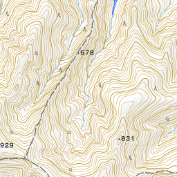


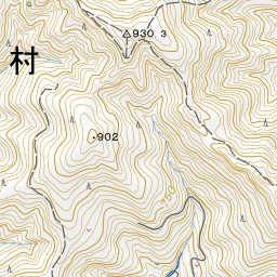


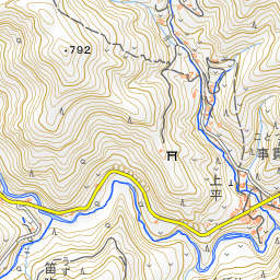


Spot location © OpenStreetMap contributors (ODbL)
Open in Google MapsUse asobot while you walk
- See where you are on the map and find spots nearby
- Listen to the guide's audio in course order, one after another (with subtitles)
- Walk to the next spot while following the map
Open on your phone
Scan to open this spot in asobot on your phone.