 ✨ AI Generated
Mt. Kagenobu
Japanese: 景信山
Hachioji, Tokyo
This information was written by AI and may contain mistakes. Please check official sources for opening hours, fees, and other details before you go.
Found a mistake? Let us know with “✏️ Something's wrong” on this spot's screen in asobot →
🎧 Audio guide(1:01)
In short
Mt. Kagenobu is a 727-meter-high mountain situated on the border between Hachioji City, Tokyo, and Sagamihara City, Kanagawa Prefecture. It lies roughly midway along the ridge that connects Mt. Takao to Mt. Jinba via Kobotoke Pass. With its scenic summit, it is not only a peak crossed during ridge traverses, but also recommended as a destination to climb in its own right.
- A Summit Looking Across to Central Tokyo: On clear days, you can gaze out over the skyscraper districts such as Shinjuku, Tokyo Bay, and even Mt. Fuji.
- Legends Behind the Name: Legend has it that the mountain was named after Yokochi Kagenobu, a vassal of the Hojo clan, who established a lookout post at the summit in preparation against the Takeda clan.
- Summit Teahouse: Specialties include nameko mushroom soup and seasonal wild plant tempura, which are popular enough to draw climbing regulars who hike up just to enjoy them.
History and Highlights
Mt. Kagenobu is a mountain on the eastern edge of the Kanto Mountains, right on the border between Hachioji City, Tokyo, and Sagamihara City, Kanagawa Prefecture. Its elevation is 727 meters.
The mountain lies along the ridge known as "Ura-Takao," which runs from Mt. Takao through Kobotoke Pass to Mt. Jinba. The ridge extends west toward Mt. Jinba and southeast toward Mt. Takao, placing this peak right along the Oku-Takao ridge trail. Mt. Kagenobu is located roughly halfway between Mt. Jinba and Mt. Takao, just north of Kobotoke Pass where the old Koshu Kaido road crosses the ridge.
A tale about a samurai warrior is told regarding the mountain's name. It is said that Yokochi Kagenobu, a retainer of the Odawara Hojo clan, set up a tomiba (lookout post) at the summit to prepare against rival forces from Koshu. Another theory holds that the name comes from a signal fire platform (noroshidai) established to keep watch over the Takeda clan of Kai. It is passed down that during Toyotomi Hideyoshi's Siege of Odawara, Yokochi Kagenobu escaped from the besieged Hachioji Castle, fled as far as Hinohara Village, and took his own life there.
Although it is one of the peaks along a longer traverse, climbing Mt. Kagenobu as a standalone destination is also recommended thanks to its beautiful scenery.
Highlights for Visitors
- Views from the Summit: The summit offers excellent views, taking in Mt. Fuji, central Tokyo, Tokyo Bay, and stretching toward Yokohama Port. On clear days with crisp air, one can see skyscraper clusters in Ikebukuro, Shinjuku, and Roppongi, as well as Tokyo Bay, the Umihotaru parking area, and the Yokohama Landmark Tower. Take in the sweeping vistas from the summit where a lookout post is said to have stood.
- Summit Teahouse: There is a teahouse at the summit, famous for nameko mushroom soup and tempura of seasonal wild plants. Some regular hikers climb the mountain specifically to enjoy these foods.
- Combining with Kobotoke Pass: Kobotoke Pass to the south sits in a dip between Mt. Kagenobu and Mt. Kobotokeshiroyama, with an elevation of 548 meters. The hike between Kobotoke Pass and Mt. Kagenobu takes about 40 minutes uphill and about 30 minutes downhill. You can also combine this with a walk over the pass along the old Koshu Kaido road.
Walking Tips
The shortest route is to take a Keio Bus bound for Kobotoke from the North Exit of JR Takao Station, get off at "Kobotoke," and walk from there. From Kobotoke, it takes about 15 minutes to reach the Mt. Kagenobu trailhead, about 40 minutes from there to the junction for Kobotoke Pass, and another 15 minutes to the summit. As the trail includes a sustained steep climb, it is best to take breaks while hiking up. From the summit, you can also continue along the ridge to Mt. Jinba, located about 4.5 kilometers straight to the west, or to Mt. Takao, located about 3.4 kilometers straight to the southeast.
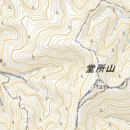
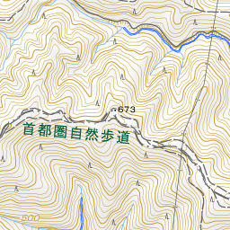
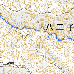
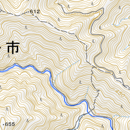
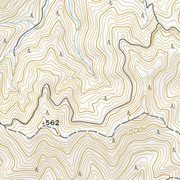
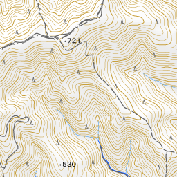
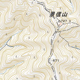
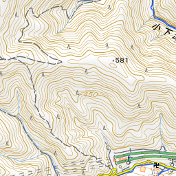
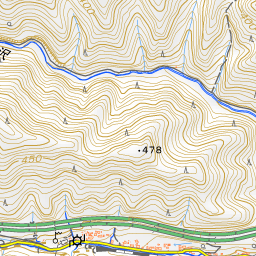
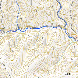
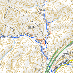
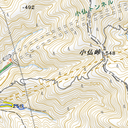
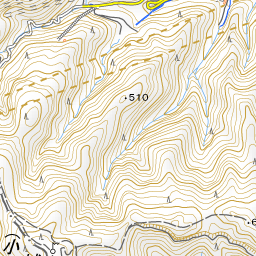
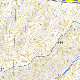
Spot location © OpenStreetMap contributors (ODbL)
Open in Google MapsUse asobot while you walk
- See where you are on the map and find spots nearby
- Listen to the guide's audio in course order, one after another (with subtitles)
- Walk to the next spot while following the map
Open on your phone
Scan to open this spot in asobot on your phone.