 ✨ AI Generated
Kanotoiwa Rock
Japanese: 神戸岩
Hinohara Village, Tokyo
This information was written by AI and may contain mistakes. Please check official sources for opening hours, fees, and other details before you go.
Found a mistake? Let us know with “✏️ Something's wrong” on this spot's screen in asobot →
🎧 Audio guide(1:02)
In short
Kanotoiwa Rock is a Tokyo Metropolitan Natural Monument located upstream along the Kanoto River in Hinohara Village. Bedrock rising about 100 meters high towers on both sides, with a clear stream rushing down through the narrow gorge between them. You can pass through along the trail beside the stream with the help of chains and ladders.
- Gorge Walk Between the Rocks: Climbing the ladder leads into a space enclosed by rock walls. A cool breeze passes through even in summer.
- Door-like Rocks and the Origin of the Name: Beyond the opening between the rocks lies a shrine, leading to one theory that the formation was seen as an entrance to sacred ground.
- Seasonal Scenery: With many Japanese maple trees, you can enjoy autumn foliage and fresh spring greenery. In winter, when the leaves have fallen, the entire rock formation becomes easier to see.
History and Highlights
Kanotoiwa Rock is situated deep within a settlement named Kanoto in Hinohara Village. While written with the characters for Kobe, it is pronounced "Kanoto." It is a place of unusual scenery where bedrock approximately 100 meters high towers on both sides. In the corridor-like narrow gorge, the clear waters of the Kanoto River flow while echoing against the bedrock. It was designated a Tokyo Metropolitan Natural Monument in 1960.
Looking from downstream, the rock on the right side stands about 100 meters high, with a top section roughly 40 meters wide. The canyon between the rocks is about 60 meters long, and the valley floor is approximately 4 meters wide. There are also potholes carved out by the swift currents. The rock consists of chert, an extremely hard stone that can also serve as flint. Because it resisted erosion from river water, wind, and rain, the narrow gorge and soaring rock walls remain today.
There are several theories regarding the origin of its name. In the direction continuing past the opening between the rocks—which looks somewhat like a half-opened door—sits Odake-jinja Shrine. One theory suggests that this place was viewed as an entrance to the sacred ground, so "Kami-no-to-iwa" (door rock of the gods) became Kanotoiwa. Another theory holds that it was named because it is a door-like rock in the Kanoto district. On the bank, there is a flat rock called the Gomadan, where Kobo Daishi is said to have performed esoteric fire rituals (goma). Further inside stands a stone shrine said to enshrine a dragon deity.
Viewing and Experience Points
- Viewing the Rocks in Full: Before entering the gorge, you can look up at the entire rock formation from around the parking area. After passing through, you can also enjoy the appearance of the rocks viewed from the opposite side.
- Walking Through the Gorge: After crossing a wooden bridge and climbing a ladder next to a waterfall, you enter between the rock walls. A cool breeze blows through even in summer. Holding onto the chains, advance across the rocky terrain and iron grates. Pause occasionally to look back and take in the water's flow and the rock shapes.
- Visiting in Different Seasons: With many Japanese maple trees, it is known as a spot for autumn leaves. During the fresh green season in spring, bright green maple leaves greet visitors from between the rocks. In winter, the leaves fall, making the entire rock formation easier to see.
Walking Tips
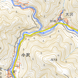
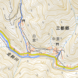
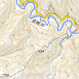
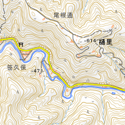
The nearest bus stop is "Kanotoiwa-iriguchi," from which it takes about 40 minutes on foot. By car, proceed upstream along the metropolitan road following the Kita-Aki River, and turn right just before the blue Kanoto Ohashi Bridge, about 250 meters past the Hinohara Local Museum. From the parking area with restrooms to Kanotoiwa Rock is about a 2-minute walk. To enter the gorge, descend from the spot marked with a Japanese sign meaning "Gorge Walk Starts Here." Footing is narrow, so keep both hands free and wear slip-resistant shoes. A quick walk through takes about 15 minutes. On the way back, you can return through a forest road tunnel. Because it curves and has a dark stretch of a few meters, watch your step. After rain, water may drip from overhead. Hossawa Falls is located about 2.8 km to the southeast.
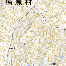
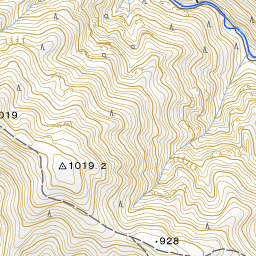
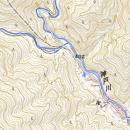
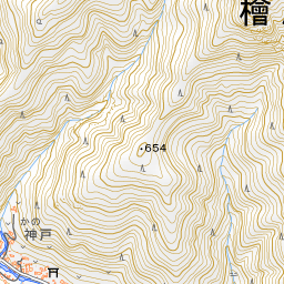
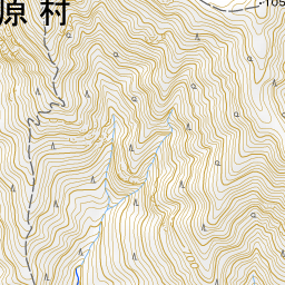
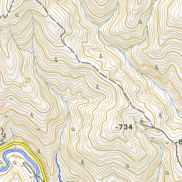
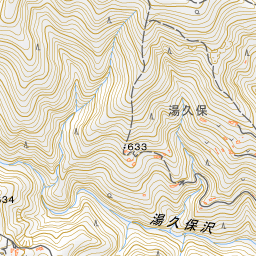
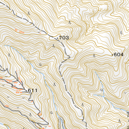
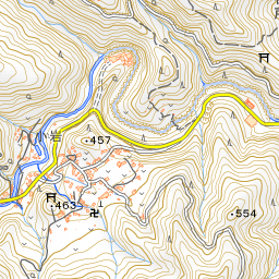
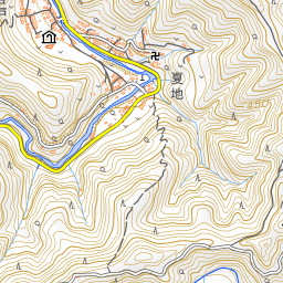
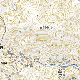
Spot location © OpenStreetMap contributors (ODbL)
Open in Google MapsUse asobot while you walk
- See where you are on the map and find spots nearby
- Listen to the guide's audio in course order, one after another (with subtitles)
- Walk to the next spot while following the map
Open on your phone
Scan to open this spot in asobot on your phone.