 ✨ AI Generated
Sakai City Hall High-Rise Building Observation Lobby
Japanese: 堺市役所高層館展望ロビー
Sakai Ward, Sakai, Osaka
This information was written by AI and may contain mistakes. Please check official sources for opening hours, fees, and other details before you go.
Found a mistake? Let us know with “✏️ Something's wrong” on this spot's screen in asobot →
🎧 Audio guide(1:06)
In short
An observation lobby on the 21st floor of the Sakai City Hall High-Rise Building, nicknamed "MI-TE Sakai." The top floor of the city hall is open to the public as an observation lobby to make the government building approachable and accessible to all citizens. The floor, about 80 meters above ground, offers a 360-degree panoramic view, and on April 5, 2025, it reopened after a renovation as the "Gateway to Sakai Tourism."
- View of Nintoku-tenno-ryo Kofun: From the southeast side, you can view the Nintoku-tenno-ryo Kofun, one of the world's largest keyhole-shaped burial mounds. Banners illustrating the size of the tomb and aerial photographs are also on display, allowing visitors to compare them with the view outside the window
- Distant Mountain Ranges and Harukas: On clear days, you can enjoy sweeping views of Mt. Ikoma and Mt. Kongo to the east, Awaji Island and Mt. Rokko to the west, and Abeno Harukas and more to the north
- Sakai Tourist Information Displays: On the southwest side, there is a 3D model that shows at a glance how to access sightseeing spots within the city, along with wall illustrations introducing Sakai's traditional industries
History and Highlights
The Sakai City Hall High-Rise Building Observation Lobby is an observation lobby on the 21st floor of the Sakai City Hall High-Rise Building, nicknamed "MI-TE Sakai." The top floor of the city hall is open to the public as an observation lobby to make the government building approachable and accessible to all citizens. Located about 80 meters above ground, the floor features large observation windows in all directions, offering a 360-degree panoramic view.
On April 5, 2025, it reopened after a renovation as the "Gateway to Sakai Tourism." The nickname was selected from 507 entries and pairs with "Mina Sakai" in front of the city hall. Each letter in the name holds meaning: M stands for moats (moated settlements) and kofun (ancient burial mounds), I for industry, T for chanoyu (tea ceremony), and E for energy (vitality), embodying the wish for visitors to "look" (mite in Japanese) and experience the charms of Sakai from this floor.
Below, the Sakai cityscape spreads out, featuring the Nintoku-tenno-ryo Kofun, one of the world's largest keyhole-shaped burial mounds. It has become a popular tourist spot as a place where visitors can gaze down upon the World Heritage-listed Mozu Kofun Group from above.
Viewing and Experience Highlights
- View of Nintoku-tenno-ryo Kofun: Nintoku-tenno-ryo Kofun can be viewed from the southeast side. Banners illustrating the size of the tomb and aerial photographs are also on display, allowing visitors to compare them with the view outside the window.
- Distant Mountain Ranges and Harukas: On clear days, you can enjoy sweeping views of Mt. Ikoma and Mt. Kongo to the east, Awaji Island and Mt. Rokko to the west, and Abeno Harukas to the north.
- Sakai Tourist Information Displays: On the southwest side, there is a 3D model that clearly shows how to access sightseeing spots within the city, along with wall illustrations introducing Sakai's traditional industries.
Walking Tips
It is located about 300 meters south of Sakaihigashi Station on the Nankai Koya Line. Getting a grasp of the positional relationships between the tombs and the city from a high vantage point will make your subsequent stroll much easier to understand. The Daisen Kofun Burial Mound (Nintoku-tenno-ryo Kofun) is located about 1.2 kilometers south, and Hochigai-jinja Shrine is located about 680 meters northeast.
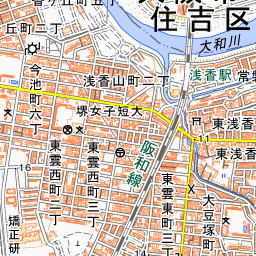
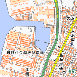


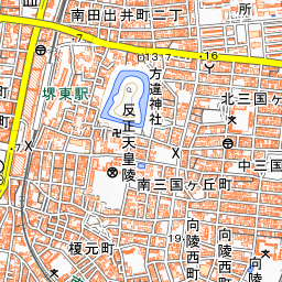
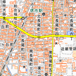
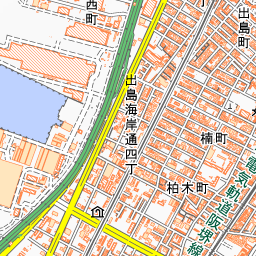
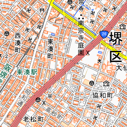
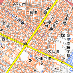
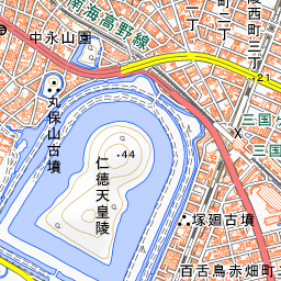
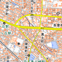
Spot location © OpenStreetMap contributors (ODbL)
Open in Google MapsGuides that include this spot (1)
Use asobot while you walk
- See where you are on the map and find spots nearby
- Listen to the guide's audio in course order, one after another (with subtitles)
- Walk to the next spot while following the map
Open on your phone
Scan to open this spot in asobot on your phone.