 ✨ AI Generated
Murayama Reservoir
Japanese: 村山貯水池
Higashimurayama, Tokyo
This information was written by AI and may contain mistakes. Please check official sources for opening hours, fees, and other details before you go.
Found a mistake? Let us know with “✏️ Something's wrong” on this spot's screen in asobot →
🎧 Audio guide(1:04)
In short
Murayama Reservoir, also known as Lake Tama (Tama-ko), is a water supply reservoir built using the Sayama Hills to resolve Tokyo's water shortages. The upper reservoir was completed in 1924, and the lower reservoir in 1927. The dome-roofed No. 1 Intake Tower is affectionately regarded as a symbol of the reservoir.
- No. 1 Intake Tower: Built in 1925, this 27.1-meter-high tower is a Tokyo Selected Historical Building.
- View from the Dam Embankment: It offers panoramic views of the Okutama mountains, and Mount Fuji can also be seen on clear days.
- Seasonal Nature: Visitors can enjoy cherry blossoms in spring, autumn foliage, and birdwatching. Sayama Park, located on the east side of the embankment, is a popular cherry blossom spot.
History and Highlights
Murayama Reservoir is an artificial lake created as part of the "First Waterworks Expansion Project," which was planned to solve the water shortages caused by the expansion of Tokyo. It is an earth-fill dam reservoir that utilizes the Sayama Hills spanning Tokyo and Saitama Prefecture. It is divided into the Murayama Upper Reservoir on the west (upstream) and the Murayama Lower Reservoir on the east (downstream).
Construction began in 1916 with the lower reservoir, followed by the upper reservoir in 1917. Completion came in March 1924 for the upper reservoir and March 1927 for the lower reservoir. The water storage capacity is approximately 2.98 million cubic meters for the upper reservoir and approximately 11.84 million cubic meters for the lower reservoir. It stores water drawn from the Ozaku Intake Weir and the Hamura Intake Weir, sending it to the Higashimurayama Purification Plant and the Sakai Purification Plant.
Before World War II, it is said that, together with the adjacent Lake Sayama, it met most of the water supply demands of the city of Tokyo. Even today, it remains one of Tokyo's vital water reservoirs. The Japan Society of Civil Engineers selected it, along with the Yamaguchi Reservoir, as a Civil Engineering Heritage Site, partly because it was the largest-scale waterworks earth dam of its time.
A sight you will want to see up close is the No. 1 Intake Tower of the lower reservoir. Built in 1925, this reinforced concrete tower is 27.1 meters high with an outer diameter of 8.8 meters. It was designed by Tamaki Iwao. It is characterized by its heavy dome roof and tiled exterior walls accented with pilasters and arched windows.
Viewing and Experience Points
- Observe the Architecture of the No. 1 Intake Tower: The tower with its dome roof and arched windows is a Tokyo Selected Historical Building and is beloved as a symbol of the reservoir. Connected to the shore by a maintenance truss bridge, it is said to be popular as a subject for photography. The No. 2 Intake Tower can also be seen in the background.
- Gaze into the Distance from the Embankment: The embankment offers panoramic views of the Okutama mountain range. The dam embankment of the lower reservoir has a length of 610 meters. Mount Fuji can also be seen when the weather is good.
- Enjoy the Seasonal Nature: Throughout the four seasons, visitors can enjoy nature such as cherry blossoms in spring, autumn leaves, and birdwatching. Sayama Park on the east side of the embankment is a cherry blossom spot, and you can look down on the blossoms from the embankment.
Strolling Tips
The address of the lower reservoir, where the No. 1 Intake Tower is located, is Tamako 4-chome, Higashiyamato City. The lower reservoir spans Higashiyamato City and Higashimurayama City, while the upper reservoir spans Higashiyamato City and Musashimurayama City.
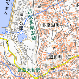
If walking, it takes about 16 minutes from Musashi-Yamato Station on the Seibu Tamako Line to the embankment plaza of Sayama Park. Walking along with Sayama Park, which spreads out on the east side of the embankment, allows you to enjoy both the waterside and the mixed woodland. The park is located near Tamako Station and Musashi-Yamato Station. There is also a cycling course that circles the lake, making touring by bicycle another good option.
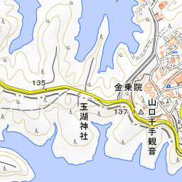
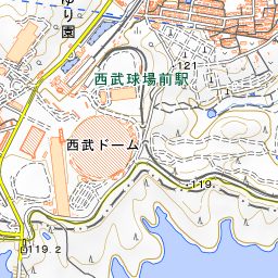
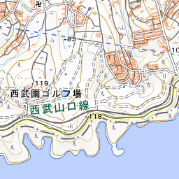
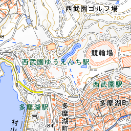
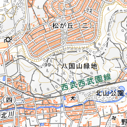
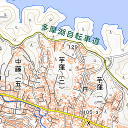
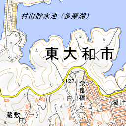
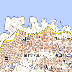
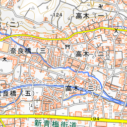
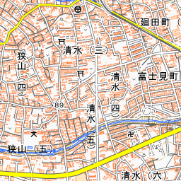
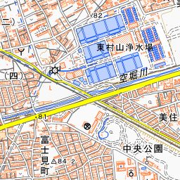
Spot location © OpenStreetMap contributors (ODbL)
Open in Google MapsUse asobot while you walk
- See where you are on the map and find spots nearby
- Listen to the guide's audio in course order, one after another (with subtitles)
- Walk to the next spot while following the map
Open on your phone
Scan to open this spot in asobot on your phone.