
Daigaku-dori Street
Japanese: 大学通り
Kunitachi, Tokyo
This information was written by AI and may contain mistakes. Please check official sources for opening hours, fees, and other details before you go.
Found a mistake? Let us know with “✏️ Something's wrong” on this spot's screen in asobot →
🎧 Audio guide(1:05)
In short
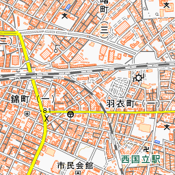
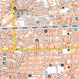
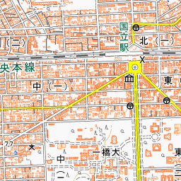
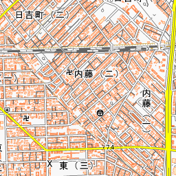
Daigaku-dori Street is the main street of Kunitachi City, extending straight south from the South Exit of JR Kunitachi Station. It is approximately 44 meters wide and about 1.3 kilometers long, with cherry trees and ginkgo trees in the green belts adding color throughout the four seasons. This scenery has been selected as one of the New Tokyo 100 Views.
- Spring Cherry Blossom Trees: Originates from the cherry trees planted between 1934 and the following year by local residents together with the youth association.
- Autumn Ginkgo: In autumn, the leaves of the ginkgo trees shine in golden yellow.
- College Town Streetscape: Centered on Hitotsubashi University along the way, shops and residences harmonize with the wide street.
History and Highlights
Daigaku-dori Street is a symbolic street of this college town, created through land consolidation around the end of the Taisho era. Hakone Tochi Co., Ltd. developed the forests in the northern part of what is now Kunitachi City, giving birth to the town of Kunitachi. In 1927, Tokyo University of Commerce, now Hitotsubashi University, relocated here. The name "Daigaku-dori Street" also derives from this university.
The street features a four-lane roadway flanked by bicycle lanes, 9-meter-wide green belts, and 3.6-meter-wide sidewalks. Centered around Hitotsubashi University along the avenue, shops and residences harmonize with the wide street, creating a calm, settled townscape. In addition to the New Tokyo 100 Views, it has been selected among the "New 100 Views of Japan's Roadside Trees", and in fiscal year 2006, it received the "Beautiful Townscape Excellence Award" at the Townscape Awards.
To celebrate the birth of the Crown Prince (now the Emperor Emeritus) in 1933, residents of this street—then called "Daigaku-machi"—formed an association called the Kunitachi Chokai. Then, between 1934 and the following year, together with the youth association of Yaho Village, they planted cherry trees in the green belts on both sides.
Prior to that, two alternating rows of ginkgo trees had been planted on the west side of the green belt. When planting the cherry trees, one of those rows was moved to the east side. In this way, the street took its current form, with ginkgo trees on the sidewalk side and cherry trees on the roadway side.
Viewing and Experience Points
- Cherry and Ginkgo Trees: The cherry trees are primarily Somei-yoshino, but rare varieties such as Oshima cherry, weeping cherry (shidarezakura), Kanzan, and Ukon cherry can also be seen. In autumn, the ginkgo leaves shine golden yellow.
- Retro Street Lamps: On the sidewalks between Kunitachi Station and the front of Hitotsubashi University, 24 street lamps stand on the east and west sides. Made by the Lentz company, they were imported directly from France by the Kunitachi Ekimae Daigaku-dori Shopping Street Association.
- Benches and Art: The benches of the Kunitachi Bench Project feature plates with messages from donors. In the green belts, artworks from the Kunitachi Art Biennale, selected through nationwide public submissions, are placed.
Walking Tips
Start walking south from the South Exit of JR Kunitachi Station. If you walk a short distance and look back, you can see the red triangular roof of the Former Kunitachi Station Building, which marks the end of the street. The grounds of Hitotsubashi University spread out on both sides of the street, dotted with medieval European-style architecture such as the Kanematsu Auditorium built in 1927. Beyond the avenue lies Sakura-dori Street stretching east and west, making it nice to walk along both during cherry blossom season. The "Kunitachi Morning Glory Fair" is held in July, and the "Tenkaichi" market takes place in November. Yabo Tenmangu Shrine is located about 2.1 kilometers to the south.

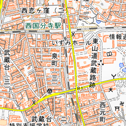
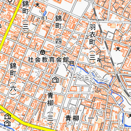
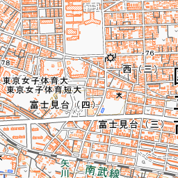
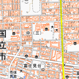
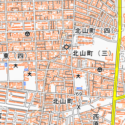
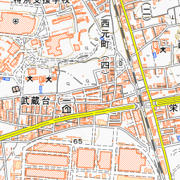
Spot location © OpenStreetMap contributors (ODbL)
Open in Google MapsUse asobot while you walk
- See where you are on the map and find spots nearby
- Listen to the guide's audio in course order, one after another (with subtitles)
- Walk to the next spot while following the map
Open on your phone
Scan to open this spot in asobot on your phone.