
Funaokayama Park
Japanese: 船岡山公園
Kita Ward, Kyoto
This information was written by AI and may contain mistakes. Please check official sources for opening hours, fees, and other details before you go.
Found a mistake? Let us know with “✏️ Something's wrong” on this spot's screen in asobot →
🎧 Audio guide(1:07)
In short
A park spreading across the northwestern side of Mt. Funaoka in Kita Ward, Kyoto City, opened in 1935 as the very first urban planning park of Kyoto City. When Heian-kyo was constructed, Mt. Funaoka is said to have been regarded as the small hill of Genbu (the Black Tortoise of the north), and during the Heian period, Sei Shonagon praised it in The Pillow Book by writing "hills, Funaoka." It is a National Historic Site.
- Views from the Summit: The summit is an elongated, flat area in the center of the southern ridge, and the Kyoto cityscape can be looked out over from near the top
- Walking Paths through Mixed Woodland: Walking paths extend through mixed woods of azaleas, bush clover, and other plants, featuring gazebos and wisteria trellises
- Exposed Chert Bedrock: Mt. Funaoka is made of bedrock of a hard sedimentary rock called chert, which is believed to have formed from the accumulation of the remains of plankton such as radiolarians on deep ocean floors
History and Highlights
Funaokayama Park is a park spreading across the northwestern side of Mt. Funaoka in Kita Ward, Kyoto City. It opened in November 1935 as the very first urban planning park of Kyoto City. It covers an area of approximately 56,000 square meters. Mt. Funaoka is a small mountain with an elevation of 112 meters and a height of about 45 meters from its base, with its southeastern side forming the grounds of Takeisao-jinja Shrine.
When Heian-kyo was constructed, Mt. Funaoka is said to have been regarded as the sacred hill of Genbu (the Black Tortoise of the north), with Daigokuden Hall and Suzaku-oji Avenue positioned directly to its south. During the Heian period, Sei Shonagon praised it in The Pillow Book by writing "hills, Funaoka," and it was featured in many waka poems as an excursion site visited by court nobles. During the Onin War, it served as an encampment for the Western Army, and an encampment was also established here during the conflict between the Ashikaga shogunal family and the Hosokawa family in 1511. It was designated as a National Historic Site in 1968, and was selected as one of the "200 Selected Natural Wonders of Kyoto" by Kyoto Prefecture in 1995.
Points of Interest
- Views from the Summit: The summit is an elongated, flat area about 120 meters long situated in the center of the southern ridge, where a third-class triangulation point was installed in 1903. The Kyoto cityscape can be looked out over from near the top.
- Walking Paths through Mixed Woodland: Walking paths extend through mixed woods of azaleas, bush clover, and other plants, featuring gazebos and wisteria trellises. Despite being located in the city, its lush green nature is preserved.
- Exposed Chert Bedrock: Mt. Funaoka is made of bedrock, with many places where rock is exposed. The rock is a hard sedimentary rock called chert, which is believed to have formed from the accumulation of skeletal remains of plankton such as radiolarians on deep ocean floors far away from continents. The chert of Mt. Funaoka is bedded chert, consisting of alternating thin layers.
Visiting Tips
Arrive by getting off at the Kyoto City Bus stops "Funaokayama" or "Sembon Kitaoji." The southeastern side of the mountain is Takeisao-jinja Shrine; stories related to Nobunaga are introduced in that spot. To the north lies Imamiya-jinja Shrine, which is also introduced as a separate spot.

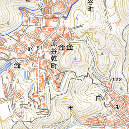
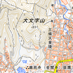
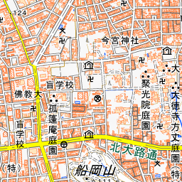
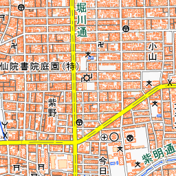

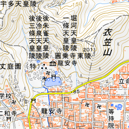

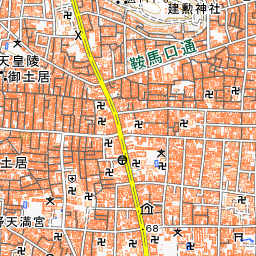
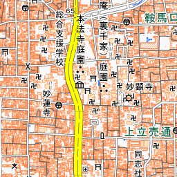
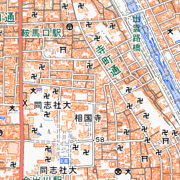
Spot location © OpenStreetMap contributors (ODbL)
Open in Google MapsUse asobot while you walk
- See where you are on the map and find spots nearby
- Listen to the guide's audio in course order, one after another (with subtitles)
- Walk to the next spot while following the map
Open on your phone
Scan to open this spot in asobot on your phone.