 ✨ AI Generated
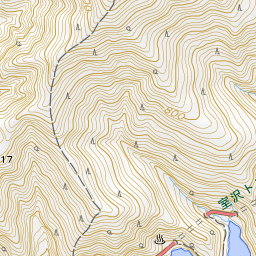
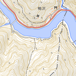
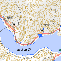
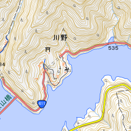
Lake Okutama
Japanese: 奥多摩湖
Okutama Town, Tokyo
This information was written by AI and may contain mistakes. Please check official sources for opening hours, fees, and other details before you go.
Found a mistake? Let us know with “✏️ Something's wrong” on this spot's screen in asobot →
🎧 Audio guide(1:06)
In short
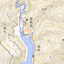
Lake Okutama is a lake formed by Ogochi Dam, which impounds the Tama River; its official name is Ogochi Reservoir. It is one of the largest dedicated water-supply reservoirs in Japan and is also referred to as the "Water Jar of Tokyo." The Tokyo side of the lake and its surrounding area were once Ogochi Village.
- Ogochi Dam: A 149-meter-high dam completed in 1957 after more than 19 years of work, which included a temporary halt due to war.
- Dam Observation Tower: East-facing windows offer views plunging over 100 meters down to the base of the dam, while west-facing windows look out over the lake and the natural landscape of Okutama.
- Floating Bridges Across the Lake: Two floating bridges span the lake, allowing visitors to view the water up close from the swaying decks.
History and Highlights
Lake Okutama is an artificial lake spanning Tokyo and Yamanashi Prefecture. Officially named Ogochi Reservoir, it is one of the largest reservoirs dedicated to municipal water supply in Japan. The Tokyo side of the lake and its surrounding area were formerly Ogochi Village.
Ogochi Dam, which created the lake, was constructed by damming the Tama River. Construction began in November 1938. As the war intensified, work was suspended in October 1943. Construction resumed in September 1948, with concrete being poured day and night. Finally, in November 1957—following the relocation of 945 households and the sacrifice of 87 lives lost during construction—the dam was completed after more than 19 years.
The dam stands 149 meters high. It is said to hold roughly a 40-day supply of tap water for Tokyo, earning it the nickname "the Water Jar of Tokyo." Today, it provides about 20% of Tokyo's water supply. As Tokyo's own independent water source, it supports a stable water supply by increasing its discharge at times such as droughts in the Tone River system. The stored water is also used for hydroelectric power generation at the Tamagawa No. 1 Power Station located directly below the dam.
Ogochi Reservoir (Lake Okutama) was selected as one of the "100 Dam Lakes of Japan" in 2005 and as a JSCE Civil Engineering Heritage Site in 2018.
Points of Interest & Experiences
- Ogochi Dam Observation Tower: The second floor features a diorama of the dam and panel exhibits introducing the history of Ogochi Dam. From the observation room on the third floor, you can look down more than 100 meters to the base of the dam from the east windows and take in panoramic views of the lake and the nature of Okutama from the west windows.
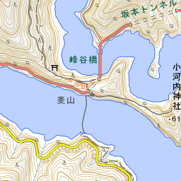
- Two Floating Bridges: Two floating bridges are installed across the lake for managing the opposite shore and for residents and tourists to cross. Walking across the swaying bridges offers close-up views of the water, making them a famous attraction of Lake Okutama. Further details can be found under Mugiyama Floating Bridge.
- Lakeside Through the Four Seasons: Cherry blossoms, fresh spring greenery, vibrant autumn foliage, and winter snowscapes transform the lake throughout the year. While recreational boating is not permitted on the lake, visitors can enjoy the surrounding nature in a tranquil atmosphere.
Tips for Exploring
Take a bus for about 20 minutes from JR Okutama Station and get off at "Okutama-ko"; the Okutama Mizu-to-Midori-no-Fureaikan will be directly in front of you. Here, you can learn about the dam and the history of daily life in Okutama. The observation tower is a 500-meter walk from the Fureaikan, passing in front of the dam administration office.
Along the southern shore of the lake runs the "Ikoi-no-Michi" walking trail, stretching 12 km from Ogochi Dam to Yama-no-Furusatomura, taking about 4 hours to complete. It is a hiking course with few ups and downs, but there are periods of closure in winter.
Guides that include this spot (1)
Use asobot while you walk
- See where you are on the map and find spots nearby
- Listen to the guide's audio in course order, one after another (with subtitles)
- Walk to the next spot while following the map
Open on your phone
Scan to open this spot in asobot on your phone.