 ✨ AI Generated
Omotesando
Japanese: 表参道
Shibuya City, Tokyo
This information was written by AI and may contain mistakes. Please check official sources for opening hours, fees, and other details before you go.
Found a mistake? Let us know with “✏️ Something's wrong” on this spot's screen in asobot →
🎧 Audio guide(0:59)
In short
Omotesando was developed in 1919 as the approach road (sando) to Meiji-jingu Shrine. Spanning Minato and Shibuya wards, this 36-meter-wide avenue is lined on both sides with brand-name boutiques and restaurants. As an avenue lined with zelkova trees, it has been selected as one of the "New 100 Views of Japan's Roadside Trees."
- Revived Zelkova Avenue: In the air raids of 1945, all but 13 zelkova trees were burned down, but replanting efforts after the war successfully brought the avenue of trees back to life.
- Site of the Dojunkai Aoyama Apartments: On the site where apartments built in the early Showa period once stood, Omotesando Hills opened in 2006.
- Sando Bridge Stone Pillar: Near the junction with Cat Street stands a stone pillar that marks the historic course of a former river.
History and Highlights
Omotesando is the avenue leading toward Meiji-jingu Shrine. The stretch from Aoyama-dori to Jingu-bashi Bridge was developed in 1919 as the front approach (omotesando) to Meiji-jingu Shrine, which was consecrated the following year, in 1920. The avenue spans Minato and Shibuya wards and measures 36 meters in width. Today, the surrounding fashionable district is often collectively referred to as Omotesando.
The tree-lined avenue traces its origins to the planting of 201 zelkova trees in conjunction with the landscaping of Meiji-jingu Shrine. However, during the great air raid on Tokyo's Yamanote area in 1945, Omotesando was turned into a sea of flames, burning down all but 13 of the zelkovas. After the war, to revive the avenue, local landscapers offered to donate and plant more than 150 zelkova trees in 1948 and 1949. In this way, the zelkova avenue was restored. It has also been selected as one of the "New 100 Views of Japan's Roadside Trees."
In the early Showa period, the Dojunkai Aoyama Apartments were constructed as part of the reconstruction project following the Great Kanto Earthquake. With its modern appearance added to the scenery, Omotesando developed into a commercial avenue with a refined and cultured image. After the war, families of U.S. military personnel residing at Washington Heights (now the site of Yoyogi Park) visited Omotesando, fostering an international atmosphere. From around 1960, the area began transforming into a major fashion district.
Viewing and Experiencing Highlights
- Stone Lanterns at Omotesando Crossing: Standing at Omotesando Crossing and looking west, you will see large stone lanterns. They serve as a landmark indicating that this avenue lined with luxury boutiques is indeed a shrine approach road.
- Omotesando Hills and Dojunkan: In 2006, Omotesando Hills was constructed on the former site of the Dojunkai Aoyama Apartments. Designed by architect Ando Tadao, the complex extends 250 meters along the street. The Dojunkan building was also erected, recreating a section of the historic apartments.
- Fences Known as the "Brass Band": The protective brass fences guarding the zelkova trees trace sinuous curves and are called the "Brass Band." They were installed by the local merchant association, and many people can be seen sitting on them like benches.
Walking Tips
As you walk along the avenue, the street dips down once and then climbs up again. Near the fork at the lowest point lie the traces of the Shibuya River, which has been culverted underground. Near the junction with Cat Street (the former Shibuya River Promenade), try looking for a stone pillar inscribed with "Sando Bridge." According to the information board, the area where shops now line the street was once a riverbed, and waterwheel rice milling flourished here until the Meiji era. The Ota Memorial Museum of Art, known for ukiyo-e, is about 140 meters to the east, and Omotesando Hills is about 570 meters to the east-southeast.
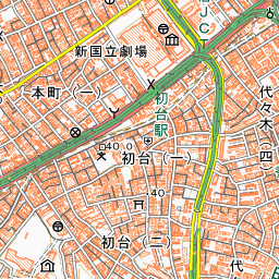
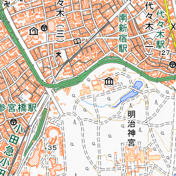
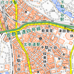
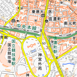
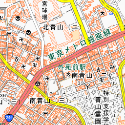
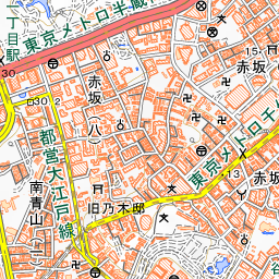
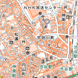
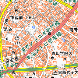
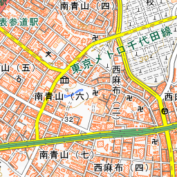
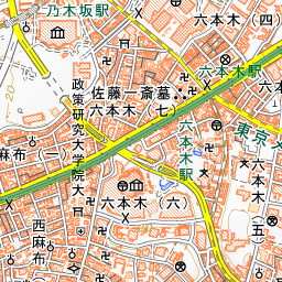
Spot location © OpenStreetMap contributors (ODbL)
Open in Google MapsGuides that include this spot (1)
Use asobot while you walk
- See where you are on the map and find spots nearby
- Listen to the guide's audio in course order, one after another (with subtitles)
- Walk to the next spot while following the map
Open on your phone
Scan to open this spot in asobot on your phone.