 ✨ AI Generated
Odaigahara
Japanese: 大台ヶ原
Kamikitayama Village, Nara
This information was written by AI and may contain mistakes. Please check official sources for opening hours, fees, and other details before you go.
Found a mistake? Let us know with “✏️ Something's wrong” on this spot's screen in asobot →
🎧 Audio guide(1:06)
In short
Odaigahara is a plateau at an elevation of 1,300 to 1,600 meters, spreading across the Daiko Mountains on the border between Nara and Mie Prefectures. It is one of the wettest regions in the world, fostering one of Japan's representative primeval forests, alongside that of Yakushima. The starting point for walking is the parking lot next to the visitor center.
- Hidegatake: The highest peak of Odaigahara, where an observation deck at the summit offers views of the Kumano Sea to the east and the Omine Mountains to the west.
- Daijagura: A sheer 800-meter cliff offering panoramic views of the World Heritage-listed Omine mountain range.
- Standing dead spruce trees: At Masaki Pass, standing dead spruce trees create a landscape that symbolizes Odaigahara today.
History and Highlights
Odaigahara is a plateau at an elevation of 1,300 to 1,600 meters, spreading across the Daiko Mountains on the border between Nara and Mie Prefectures. Administratively, it spans the villages of Kamikitayama and Kawakami in Nara Prefecture, and the town of Odai in Mie Prefecture.
Odaigahara is located within Yoshino-Kumano National Park. This is one of the wettest regions in the world. This large volume of rain creates a moist climate and nurtures one of Japan's representative primeval forests, alongside that of Yakushima. In 1920, an annual rainfall of 8,214 millimeters was recorded.
In 1980, it was designated as a UNESCO Biosphere Reserve under the name "Odaigahara, Mt. Omine and Osugidani." Mt. Odaigahara is also one of the "100 Famous Japanese Mountains."
At Masakigahara and Ushiishigahara, one can see standing dead spruce trees and bamboo grass fields. In 1959, the Isewan Typhoon (Typhoon Vera) damaged the forest, allowing sunlight to reach the ground surface. Because of this, moss declined and Miyakozasa (dwarf bamboo) began to flourish. Japanese deer, which feed mainly on Miyakozasa, increased in number and began eating young trees and tree bark as well. Together with other causes, this is believed to be advancing the decline of the forest.
Sights and Experiences
- Hidegatake: The highest peak of Odaigahara, with an elevation of 1,695 meters. From the observation deck at the summit, a grand panorama unfolds, looking out over the Kumano Sea to the east and the Omine Mountains to the west. On clear early mornings, you might even be fortunate enough to see Mt. Fuji.
- Daijagura: A sheer 800-meter cliff formed by a soaring mass of jagged rock, offering views of the World Heritage-listed Omine mountain range.
- Ushiishigahara and Masaki Pass: Ushiishigahara is a vast plain that looks as if it were covered with a carpet of Miyakozasa bamboo. The Ushiishi here is a large stone in which, according to legend, a high-ranking Buddhist monk sealed away a monster called Ushioni long ago. At Masaki Pass, standing dead spruce trees create a landscape that symbolizes Odaigahara today.
Tips for Visitors
The starting point for walking is the Odaigahara Parking Lot. At the visitor center next to the parking lot, you can learn in detail about the nature, culture, and guidelines for visiting Odaigahara. Stopping by before walking is recommended.
The area east of the visitor center is Higashi-Odaigahara (East Odaigahara). A hiking trail leads from Hidegatake southwest along the ridge, passing through Masakigahara and Ushiishigahara to Daijagura. Entry to Nishi-Odaigahara (West Odaigahara) is regulated, requiring an advance application, a fee, and attendance at a lecture at the visitor center on the day of the visit.
By car, it is approximately 20 kilometers from National Route 169 via the Odaigahara Driveway to the visitor center. The driveway is closed in winter due to snow accumulation and freezing. The visitor center is also closed for the winter every year from late November to late April. Direct buses operated by Nara Kotsu run from April to November and require advance reservations.
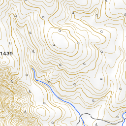
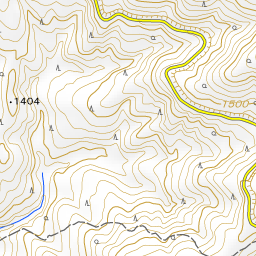
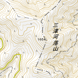
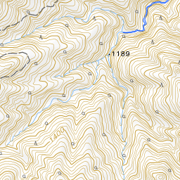
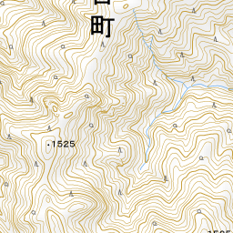
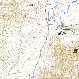
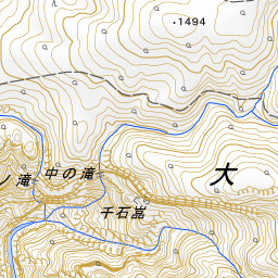
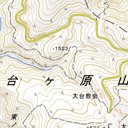
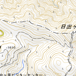
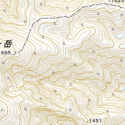
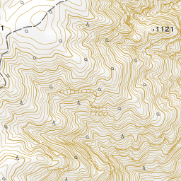
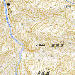
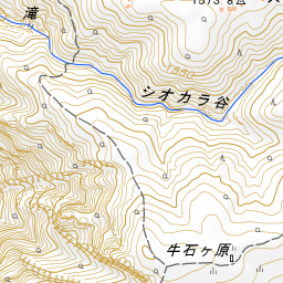
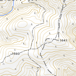
Spot location © OpenStreetMap contributors (ODbL)
Open in Google MapsUse asobot while you walk
- See where you are on the map and find spots nearby
- Listen to the guide's audio in course order, one after another (with subtitles)
- Walk to the next spot while following the map
Open on your phone
Scan to open this spot in asobot on your phone.