 ✨ AI Generated
Karako-Kagi Ruins Historic Park
Japanese: 唐古・鍵遺跡史跡公園
Tawaramoto Town, Nara
This information was written by AI and may contain mistakes. Please check official sources for opening hours, fees, and other details before you go.
Found a mistake? Let us know with “✏️ Something's wrong” on this spot's screen in asobot →
🎧 Audio guide(1:03)
In short
Karako-Kagi Ruins Historic Park, located in Tawaramoto Town, is a park developed on the site of a large moat-encircled settlement from the Yayoi period. The Karako-Kagi Ruins are the remains of one of Japan's largest villages, which stood in the center of the Nara Basin about 2,000 years ago, and are designated as a national historic site. A reconstructed multi-story building, based on a drawing found on pottery, serves as the symbol of the park.
- Reconstructed Multi-Story Building: Standing 12.5 meters tall with two stories, it catches the eye with spiral roof decorations and wooden birds.
- Archaeological Feature Exhibition Hall: Displays full-scale models cast from the postholes of a large building site, as well as an actual excavated wooden pillar.
- Multiple Moat Area: Reconstructs part of the circular moats that surrounded the village in multiple layers.
History and Highlights
The Karako-Kagi Ruins are the remains of a representative large-scale moat-encircled settlement from the Yayoi period, situated in the lowlands formed by the Hase River near the center of the Nara Basin. Around 2,000 years ago during the Yayoi period, one of Japan's largest villages stood here. The area is about 420,000 square meters, equivalent to 10 Koshien Stadiums. The settlement continued without interruption for about 700 years, from the Early Yayoi period to the Late Yayoi period. It is considered to have served a role akin to a leader in the Kinki region.
In 1937, wooden farming implements such as pestles were discovered during excavations at Karako Pond. This result clarified the nature of the Yayoi period and led to the creation of standard chronological classifications for Yayoi pottery in the Kinki region. In the Middle Yayoi period, a "Great Moat" surrounding the entire village was dug, which is thought to have had a diameter of about 400 meters. The central part of the ruins was designated as a national historic site in 1999.
The reconstructed multi-story building, the symbol of the park, was built in 1994 at the southwest corner of Karako Pond based on a "multi-story building" depicted on pottery unearthed during the 47th excavation. It is a 12.5-meter-tall two-story structure with four pillars made of cypress-like hiba wood measuring 50 centimeters in diameter and a thatched roof. The discovery of this illustrated pottery revealed that multi-story buildings also existed during the Yayoi period.
Viewing and Experiencing Highlights
- Looking Up at the Building's Roof: The spiral decorations on the roof are made of wisteria vines. The three reverse-S-shaped lines drawn above the roof on the pottery are interpreted as migratory birds, and three wooden birds are placed on both the east and west sides. Visitors cannot enter the building, so it is viewed from the outside.
- Large Pillars at the Archaeological Feature Exhibition Hall: Houses a full-scale model cast from the postholes of a large building site. There are 19 postholes, and the building had a floor area of 50 tatami mats, making it among the largest from the Middle Yayoi period. An excavated zelkova pillar with a diameter of 60 centimeters is also on display.
- The Moats and Karako Pond: In the Multiple Moat Area, part of the moats that protected the village from floods and enemies has been reconstructed. Karako Pond is an irrigation reservoir built during the Edo period, and Yayoi-period ruins lie beneath the pond as well. In spring, cherry blossoms surrounding the pond form a floral tunnel.
Tips for Exploring
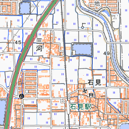
It is about a 20-minute walk, or approximately 1.5 kilometers, from Iwami Station on the Kintetsu Kashihara Line. Start by viewing the pillar at the Archaeological Feature Exhibition Hall, then head toward the reconstructed multi-story building. Looking east from the Yayoi Forest Area, you can view the surrounding rural landscape and the mountain ridge known as Yamato no Aogaki. The illustrated pottery that served as the model for the building is on display at the Karako-Kagi Archaeological Museum in Sakate, Tawaramoto Town. About 4.6 kilometers to the southeast lie the Makimuku Ruins in Sakurai City.
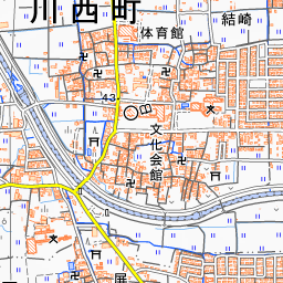
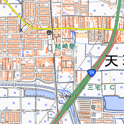
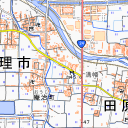
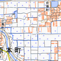
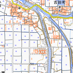
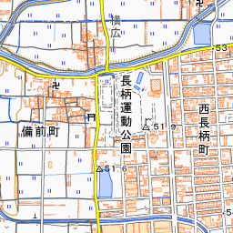
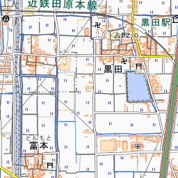
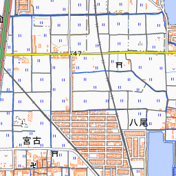
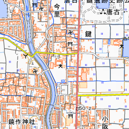
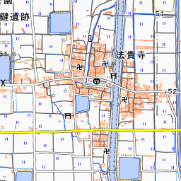
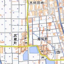
Spot location © OpenStreetMap contributors (ODbL)
Open in Google MapsGuides that include this spot (1)
Use asobot while you walk
- See where you are on the map and find spots nearby
- Listen to the guide's audio in course order, one after another (with subtitles)
- Walk to the next spot while following the map
Open on your phone
Scan to open this spot in asobot on your phone.