 ✨ AI Generated
Kumeda Pond
Japanese: 久米田池
Kishiwada, Osaka
This information was written by AI and may contain mistakes. Please check official sources for opening hours, fees, and other details before you go.
Found a mistake? Let us know with “✏️ Something's wrong” on this spot's screen in asobot →
🎧 Audio guide(1:09)
In short
An irrigation reservoir spanning Ikejiri-cho and Okayama-cho in Kishiwada City, with the largest surface area of any reservoir in Osaka Prefecture. According to the Ryuchi-in Engi, it is said to have been constructed over a period of 14 years by the Buddhist monk Gyoki, from 725 (Jinki 2) to 738 (Tenpyo 10). In 2015 (Heisei 27), it was registered as a "World Heritage Irrigation Structure" in recognition of its preservation by human hands for about 1,300 years and the engineering techniques that contributed to the development of irrigated agriculture.
- "International Airport for Birds": In spring and autumn, members of the sandpiper and plover families visit during their migration; in summer, little terns and oriental reed warblers arrive; and from autumn through winter, duck species fly in, with more than 100 species of birds confirmed here in a year. There are also wild bird observation decks along the shore
- Spring Cherry Blossom Trees: Along the northern embankment of the pond, about 1 km long, well over a hundred cherry trees bloom, and the row of cherry blossoms along the walking path is splendid. A cherry blossom festival is also held around the pond
- Ancient Construction Method Preserved in the Embankment: Excavation surveys revealed the "shikiha-koho" (leaf-layering construction method), in which cohesive soil and plant leaves were laid alternately to strengthen the embankment
History and Highlights
Kumeda Pond is an irrigation reservoir spanning Ikejiri-cho and Okayama-cho in Kishiwada City, and has the largest surface area of any reservoir in Osaka Prefecture. It covers an area of 45.6 hectares, has a circumference of approximately 2,650 meters, and holds 1.57 million tons of water.
According to the Ryuchi-in Engi, the pond was constructed over a period of 14 years by the Buddhist monk Gyoki, from 725 (Jinki 2) to 738 (Tenpyo 10) during the Nara period. To relieve the hardships of local farmers suffering from droughts, Gyoki gathered the farmers together and built the pond by hand using hoes and spades. At that time, a temple called Ryuchi-in was erected as a facility to manage the pond. This temple is today's Kumeda-dera Temple. Entering the Sengoku (Warring States) period, management of the pond was transferred from the temple to Kumedaike-go, a local community formed by 14 surrounding villages, and since 1957 (Showa 32), it has been managed by the Kumeda Pond Land Improvement District.
The pond was designated as a Historic Site and Place of Scenic Beauty by Osaka Prefecture in 1941 (Showa 16), and was selected by the Ministry of Agriculture, Forestry and Fisheries as one of the "Top 100 Reservoirs of Japan" in 2010 (Heisei 22). In 2015 (Heisei 27), it was registered as a "World Heritage Irrigation Structure" in recognition of its preservation by human hands for about 1,300 years and the engineering techniques that contributed to the development of irrigated agriculture.
Viewing and Experience Highlights
- "International Airport for Birds": Kumeda Pond is also referred to as an "international airport for birds." In spring and autumn, members of the sandpiper and plover families visit during their migration; in summer, little terns and oriental reed warblers arrive; and from autumn through winter, various duck species fly in, with more than 100 species of birds confirmed here throughout the year. Wild bird observation decks are also installed along the shore.
- Spring Cherry Blossom Trees: Along the northern embankment of the pond, over a stretch of about 1 km, more than one hundred cherry trees bloom, creating a splendid row of cherry blossoms along the walking path. A cherry blossom festival is also held around the pond.
- Ancient Construction Method Preserved in the Embankment: Excavation surveys revealed the use of the "shikiha-koho" (leaf-layering construction method), in which cohesive soil and plant leaves were laid alternately to strengthen the embankment. An interpretive board explaining this history stands along the promenade on the west side of the pond.
Walking Tips
It is about a 16-minute walk from Kumeda Station on the JR Hanwa Line. Walking paths, decks, and benches are installed around the pond, where visitors can be seen enjoying strolling or jogging. To the northwest of the pond lies Kumeda-dera Temple, founded by Gyoki. During its October festival, the "Gyoki Mairi" takes place, in which danjiri floats gather in the temple grounds to express gratitude to Gyoki. For the highlights of the temple, please refer to the guide for Kumeda-dera Temple.
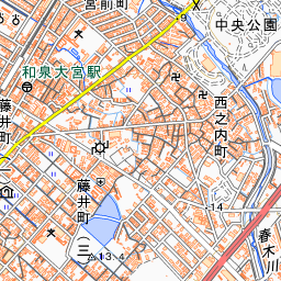
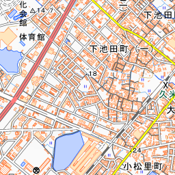
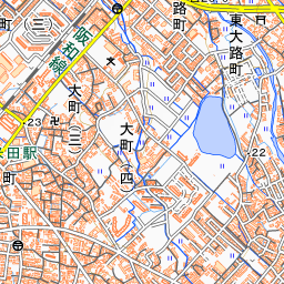
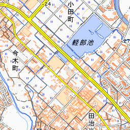
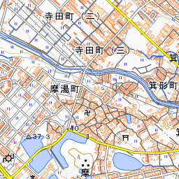
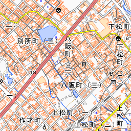
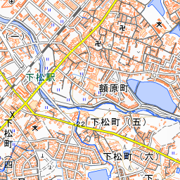

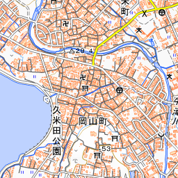
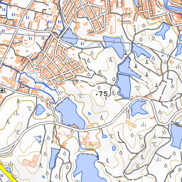
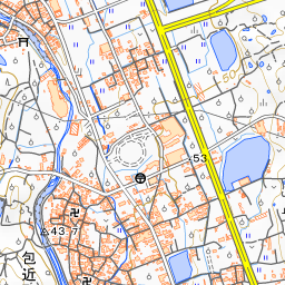
Spot location © OpenStreetMap contributors (ODbL)
Open in Google MapsUse asobot while you walk
- See where you are on the map and find spots nearby
- Listen to the guide's audio in course order, one after another (with subtitles)
- Walk to the next spot while following the map
Open on your phone
Scan to open this spot in asobot on your phone.