 ✨ AI Generated
Mt. Otake
Japanese: 大岳山
Okutama Town, Tokyo
This information was written by AI and may contain mistakes. Please check official sources for opening hours, fees, and other details before you go.
Found a mistake? Let us know with “✏️ Something's wrong” on this spot's screen in asobot →
🎧 Audio guide(1:06)
In short
Mt. Otake is one of the Three Mountains of Okutama and is selected among both Japan's 200 Famous Mountains and the 100 Famous Mountains of Flowers. Because its summit is flat with a rim, like a pot, it is also called Nabekamuri-yama (pot-crown mountain). From the summit, you can see Mt. Fuji. Climbing trails are available from both the Okutama Town side and the Hinohara Village side.
- Views from the Summit: You can see Mt. Fuji from the summit and enjoy a magnificent view.
- Nokogiri Ridge from Okutama Station: Climb the Nokogiri Ridge, which includes sections with chains, followed by a gentle ridge walk from Mt. Nokogiri to Mt. Otake.
- Waterfalls and Rocks on the Hinohara Village Side: The trail from Senzoku passes Tengu Falls, Aya Falls, and the famous rock climbing spot Tsuzura-iwa.
History and Highlights
Mt. Otake is a mountain with an elevation of 1,267 meters. The three peaks—Mt. Otake, Mt. Mito, and Mt. Gozen—are known as the Three Mountains of Okutama. Mt. Otake has also been selected as one of Japan's 200 Famous Mountains and the 100 Famous Mountains of Flowers.
Because the shape of its summit is flat with a rim resembling a pot, the mountain is also called Nabekamuri-yama. Mt. Fuji can be seen from the summit, offering a magnificent panoramic view. On clear days, wonderful mountain scenery unfolds from the hiking trails.
Climbing routes lead up from both the Okutama Town side and the Hinohara Village side. From Okutama Station, the path runs along the Nokogiri Ridge, while the trail from Senzoku in Hinohara Village leads past waterfalls and rocks. Since it can also be climbed from Mt. Mitake, you have various choices for your descent route from the summit.
Viewing and Experience Points
- Nokogiri Ridge and Ridge Walking: From Okutama Station, you climb the Nokogiri Ridge, which features sections equipped with chains. From Mt. Nokogiri to Mt. Otake, you can enjoy a gentle walk along the ridge.
- Tengu Falls and Aya Falls: Along the trail from Senzoku in Hinohara Village, you can see Tengu Falls with its fan-like widening shape, and Aya Falls as it flows gently and softly over the rock face.
- Tsuzura-iwa: Beyond Aya Falls lies Tsuzura-iwa, a well-known rock climbing site. Further ahead at Fujimidai, there is a gazebo that is also suitable for having lunch.
Walking Tips
The course from Okutama Station via Nokogiri Ridge covers a walking distance of approximately 9.6 km, with an estimated hiking time of 7 hours and 30 minutes. For the descent, options include taking the Mt. Mitake cable car or heading toward Kori Station via Mt. Otsuka. A restroom is located about 15 minutes past Mt. Otake toward Akuba Pass. The course from Senzoku in Hinohara Village is suitable for intermediate hikers with good stamina. It takes about 1 hour and 10 minutes from Fujimidai to reach Odake-jinja Shrine, and from there about 25 minutes to the summit. As the trail to the summit is especially steep, climb slowly without rushing. For beginners to intermediate hikers, a route starting from Mitake in Ome City and descending to Senzoku while viewing Aya Falls and Tengu Falls is recommended. For a full-day hike, there is also a route traversing Mt. Nokogiri, Mt. Otake, and Mt. Mitake in that order. A day hike in Okutama takes about 6 to 7 hours, so plan to arrive at the trailhead before 9:00 AM. Bring essential equipment such as a headlamp, hiking map, and rain gear, submit a hiking registration form, and plan your hike without overexertion. Mt. Mitake and Musashi Mitake-jinja Shrine are introduced in their respective spot guides.
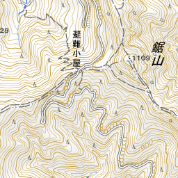
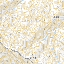
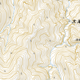
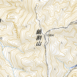
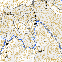
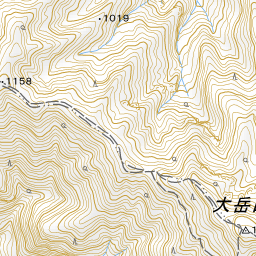
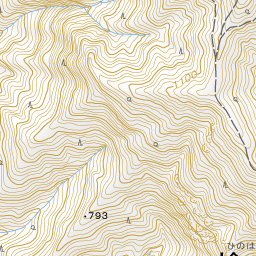
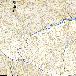
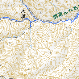
Spot location © OpenStreetMap contributors (ODbL)
Open in Google MapsUse asobot while you walk
- See where you are on the map and find spots nearby
- Listen to the guide's audio in course order, one after another (with subtitles)
- Walk to the next spot while following the map
Open on your phone
Scan to open this spot in asobot on your phone.