 ✨ AI Generated
Mt. Hinode
Japanese: 日の出山
Ome, Tokyo
This information was written by AI and may contain mistakes. Please check official sources for opening hours, fees, and other details before you go.
Found a mistake? Let us know with “✏️ Something's wrong” on this spot's screen in asobot →
🎧 Audio guide(0:50)
In short
Mt. Hinode is a 902-meter-high mountain located in the direction of the sunrise from Mt. Mitake. From the summit, magnificent views of the Okutama mountains and the entire Kanto Plain stretch out, and true to its name ("hinode" meaning sunrise), it is also a prime location for viewing the first sunrise of the New Year. It can be reached on foot in less than an hour from the trailhead near Musashi Mitake-jinja Shrine.
- Views of the Kanto Plain: If the weather is favorable, you can even see Tokyo Skytree.
- First Sunrise of the Year: The grand panorama overlooking the Kanto Plain makes it an ideal spot to greet the first sunrise.
- Flowers at the Summit: Beautiful flowers such as azaleas and rhododendrons welcome hikers.
History and Highlights
Mt. Hinode stands at an elevation of 902 meters and forms part of the impressive landscape of Chichibu-Tama-Kai National Park. It lies in the direction of the sunrise as seen from Mt. Mitake and marks the northwestern edge of Hinode Town. Hinode Town takes its name from this mountain. In the western part of Hinode Town, the Oguno area features a nature-rich sightseeing zone that includes Mt. Hinode and Tsurutsuru Onsen. The Hirai River flows from Mt. Hinode and empties into the Tama River. The area around Mt. Hinode is included in the national park zone and serves as a nature recreation village.
The summit is a scenic spot offering sweeping views of the mountains in the Okutama area and the grand landscape of the entire Kanto Plain. If the weather is favorable, Tokyo Skytree can also be seen. At the summit, beautiful blossoms such as azaleas and rhododendrons greet hikers.
True to its name, the summit is also an excellent vantage point for watching the first sunrise of the year. The grand panorama overlooking the Kanto Plain makes it a superb spot to see the first sunrise.
Viewing and Experience Points
- Panorama of the Kanto Plain: From the summit, you can take in the views of the Okutama mountains and the entire Kanto Plain.
- Spotting Tokyo Skytree: On days with good weather, try looking for the distant Tokyo Skytree.
- Flowers and Trails: Enjoy walking among the flowers at the summit or hiking along the trails.
Walking Tips
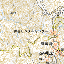
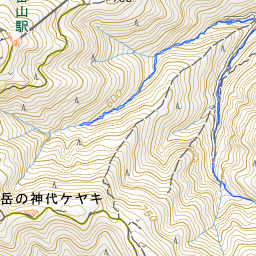
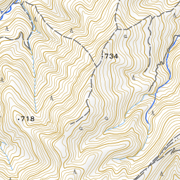
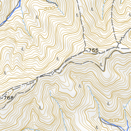
Mt. Hinode can be reached on foot from the trailhead located near Musashi Mitake-jinja Shrine. It is a popular trail that takes less than an hour to walk. On the map, the summit lies approximately 1.6 km in a straight line east of Musashi Mitake-jinja Shrine. As many of the trails around Mt. Mitake are undulating, set out with appropriate footwear and clothing. Many hikers finish their journey at Tsurutsuru Onsen. The cable car and the village of pilgrim lodgings are introduced under Mt. Mitake, the shrine's history under Musashi Mitake-jinja Shrine, and the waterfalls along the stream under the Rock Garden spot.

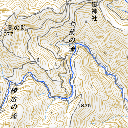
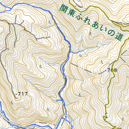
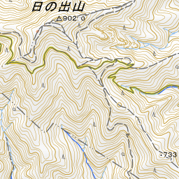
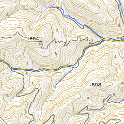
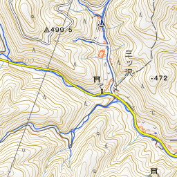
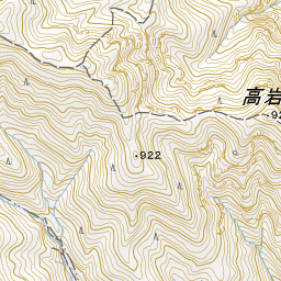
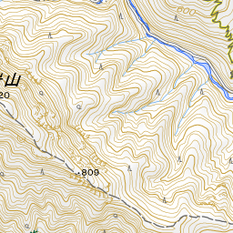
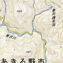
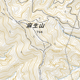
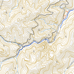
Spot location © OpenStreetMap contributors (ODbL)
Open in Google MapsUse asobot while you walk
- See where you are on the map and find spots nearby
- Listen to the guide's audio in course order, one after another (with subtitles)
- Walk to the next spot while following the map
Open on your phone
Scan to open this spot in asobot on your phone.