
Hiraoka Park
Japanese: 枚岡公園
Higashiosaka, Osaka
This information was written by AI and may contain mistakes. Please check official sources for opening hours, fees, and other details before you go.
Found a mistake? Let us know with “✏️ Something's wrong” on this spot's screen in asobot →
🎧 Audio guide(1:05)
In short
An Osaka prefectural forest park covering approximately 43.8 hectares, spread across the foot of the Ikoma Mountains. It opened in 1938 and is now part of Kongo-Ikoma-Kisen Quasi-National Park. Across the "Ankei" valley lie the ridges of Mt. Nukata to the north and Mt. Hiraoka to the south, and visitors can enjoy plum blossoms, cherry blossoms, and azaleas in spring, and maples in the fall.
- Two Observation Decks: From the Nukatayama Observation Deck at an elevation of 240 meters and the Hiraokayama Observation Deck at an elevation of 260 meters, you can gaze out over the Kawachi Plain, Osaka Castle, and in the distance, the Akashi Kaikyo Bridge and the Rokko Mountain range
- Cherry Blossom Plaza and the Forest Toy Box: In the Cherry Blossom Plaza, 100 Somei Yoshino cherry trees are planted. The children's playground "Forest Toy Box" is popular for its long roller slide
- Hiking Gateway and Basho's Haiku Monument: The park serves as the trailhead for the Sekkasen Outlook Course and the Mt. Kamitsudake Course, and along National Route 308 stands a stone monument inscribed with a haiku by Matsuo Basho
History and Highlights
Hiraoka Park is an Osaka prefectural forest park spread across the foot of the Ikoma Mountains. It opened in February 1938, combining land received through donations and other means from the then village of Hiraoka and the training forest of the prefectural agricultural school. Covering an area of approximately 43.8 hectares, nearly the entire park was incorporated into the Kongo-Ikoma Quasi-National Park when it was designated in 1958. Today, it is part of Kongo-Ikoma-Kisen Quasi-National Park.
The park features relatively steep terrain covered in mountain forests mainly composed of sawtooth oak and konara oak. Across the "Ankei" valley, there are ridges of Mt. Nukata to the north and Mt. Hiraoka to the south, each featuring an observation deck. "Ankei" refers to Toyoura Gorge, called this because the Kuragarigoe Nara Kaido highway leading to Kuragari Pass runs through it. Visitors can enjoy the mountain's changing seasons, with plum blossoms, cherry blossoms, and azaleas in spring, and autumn foliage in Ankei during the fall.
Highlights and Experiences
- Two Observation Decks: From the Nukatayama Observation Deck at an elevation of 240 meters and the Hiraokayama Observation Deck at an elevation of 260 meters, you can gaze out over the Kawachi Plain, Osaka Castle, and in the distance, the Akashi Kaikyo Bridge and the Rokko Mountain range. It takes about 30 to 40 minutes to walk from Nukata Station to the Nukatayama Observation Deck.
- Cherry Blossom Plaza and the Forest Toy Box: In the Cherry Blossom Plaza, 100 Somei Yoshino cherry trees are planted. The children's playground on the slope, "Forest Toy Box," is popular for its long roller slide.
- Hiking Gateway and Basho's Haiku Monument: The park serves as the trailhead for the Sekkasen Outlook Course heading toward the summit of Mt. Ikoma and the Mt. Kamitsudake Course heading toward Fumin-no-Mori Narukawa Park. Along National Route 308 stands a stone monument inscribed with a haiku by Matsuo Basho.
Tips for Exploring
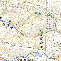
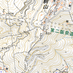
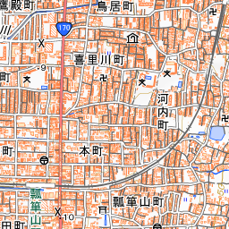
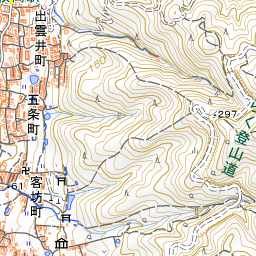
The park is about 700 meters east of either Hiraoka Station or Nukata Station on the Kintetsu Nara Line. The northwest side of the park is the entrance from Nukata Station, where playgrounds and plazas are located. The southwest side is the entrance from Hiraoka Station, with Hiraoka-jinja Shrine and the Hiraoka Plum Grove located about 430 meters to the west-southwest. Because the park has relatively steep mountain terrain, wear comfortable walking shoes. Going about 1.6 kilometers east-southeast up the Kuragarigoe Nara Kaido brings you to Kuragari Pass, and about 1.5 kilometers to the southeast is Fumin-no-Mori Narukawa Park. For highlights of Hiraoka-jinja Shrine and Kuragari Pass, please refer to their respective spot guides.
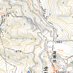
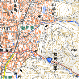

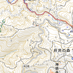
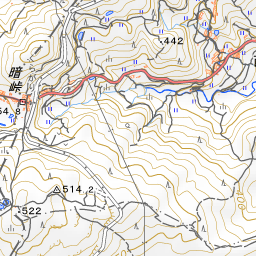
Spot location © OpenStreetMap contributors (ODbL)
Open in Google MapsUse asobot while you walk
- See where you are on the map and find spots nearby
- Listen to the guide's audio in course order, one after another (with subtitles)
- Walk to the next spot while following the map
Open on your phone
Scan to open this spot in asobot on your phone.