 ✨ AI Generated
Mt. Kurotaki
Japanese: 黒滝山
Takehara, Hiroshima
This information was written by AI and may contain mistakes. Please check official sources for opening hours, fees, and other details before you go.
Found a mistake? Let us know with “✏️ Something's wrong” on this spot's screen in asobot →
🎧 Audio guide(1:02)
In short
Mt. Kurotaki is a 266-meter-high mountain rising behind the town of Tadanoumi-cho in Takehara City. Part of Setonaikai National Park, it is loved as a scenic viewpoint where you can see the islands of the Seto Inland Sea all at once. This mountain has also been a mountain of faith since ancient times.
- View from the Summit: From the summit, one can overlook the Geiyo Islands, including Okunoshima Island, the Shimanami Kaido connecting Honshu and Shikoku, and even the distant mountain ranges of Shikoku
- Koshikake-iwa Rock: Along with the summit, it is known as a scenic vantage point, and the view from here is said to have been praised by General Nogi Maresuke
- Kannon-do Hall and Stone Kannon Statues: The Kannon-do hall is said to have been founded in 730 during the Tenpyo era, and 33 stone statues of Kannon, said to have been placed around 1820, line the mountain trail
History and Highlights
Mt. Kurotaki is a 266-meter-high mountain rising behind the town of Tadanoumi-cho in Takehara City. Part of Setonaikai National Park, it is well known and loved as a scenic viewpoint offering sweeping vistas of the islands across the Seto Inland Sea. Near the summit, several uniquely shaped rocks can be seen.
This mountain has also been a center of spiritual devotion since ancient times. The mountain's Kannon-do hall is said to have been founded in 730 during the Tenpyo era, and enshrines a statue of the Eleven-faced Kannon believed to date from the Kamakura period. In addition, 33 stone statues of Kannon, said to have been placed around 1820, line the mountain trail.
At the foot of the mountain, Tadanoumi is a port town where ferries depart for Okunoshima Island, famously known as the island of rabbits. From atop the mountain, visitors can look down upon the islands below, including Okunoshima Island.
Points for Appreciation and Experience
- View from the Summit: From the summit, one can overlook the Geiyo Islands, including Okunoshima Island, the Shimanami Kaido connecting Honshu and Shikoku, and even the distant mountain ranges of Shikoku.
- Koshikake-iwa Rock: Along with the summit, Koshikake-iwa Rock is known as a scenic vantage point. The view from here is said to have been praised by General Nogi Maresuke.
- Kannon-do Hall and Stone Kannon Statues: Follow the 33 stone Kannon statues lining the trail as you make your way to Kannon-do hall. Beyond the natural beauty, you can also connect with the mountain's heritage as a site of faith.
Walking Tips
It takes about 30 minutes on foot from Tadanoumi Station on the JR Kure Line to the trailhead. If arriving by car, begin walking from "Sakura-do," a trailhead equipped with a parking lot. From Sakura-do to the summit, it is about a 30- to 40-minute walk along a well-maintained walking trail. Be sure to prepare comfortable walking shoes and drinks. The summit is also introduced as a spot to view the first sunrise of the year. After descending the mountain, planning a day trip to take a ferry from Tadanoumi Port over to Okunoshima Island is also recommended.
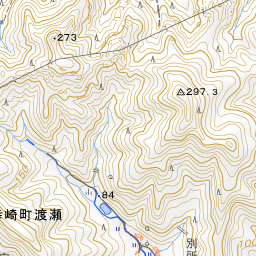
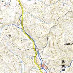
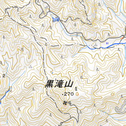
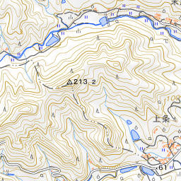
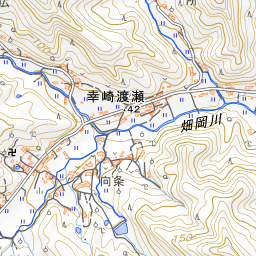
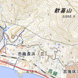
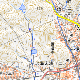
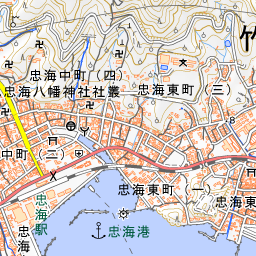
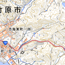
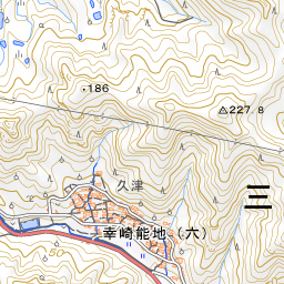
Spot location © OpenStreetMap contributors (ODbL)
Open in Google MapsUse asobot while you walk
- See where you are on the map and find spots nearby
- Listen to the guide's audio in course order, one after another (with subtitles)
- Walk to the next spot while following the map
Open on your phone
Scan to open this spot in asobot on your phone.