 ✨ AI Generated
Suyama Kofun Burial Mound
Japanese: 巣山古墳
Koryo Town, Nara
This information was written by AI and may contain mistakes. Please check official sources for opening hours, fees, and other details before you go.
Found a mistake? Let us know with “✏️ Something's wrong” on this spot's screen in asobot →
🎧 Audio guide(0:56)
In short
Suyama Kofun Burial Mound is a keyhole-shaped tumulus (zenpo-koen-fun) with an overall length of approximately 220 meters, located in the central part of the Umami Hills in Koryo Town. It is one of the largest tumuli in the Umami Kofun Group and has been designated a Special Historic Site of Japan. It is known for a peninsula-like projecting feature discovered during archaeological excavations and boat parts excavated from the surrounding moat.
- Surrounding Moat: The moat enclosing the tumulus is used as an agricultural reservoir.
- Peninsula-like Structure: A structure extending from the mound into the moat on the west side of the front square section; numerous haniwa (terracotta figures) shaped like water birds, houses, and other objects were excavated here.
- Boat Considered a Funeral Boat: Components of a semi-dugout boat were excavated from the northeast corner of the moat, and its overall length is estimated to exceed 8 meters.
History and Highlights
In the Umami Hills, located in the western part of the Nara Basin, there are many large tumuli built during the 4th and 5th centuries, collectively called the Umami Kofun Group. Suyama Kofun Burial Mound is one of the largest among them and stands in the center of the hills. It is a large, north-facing keyhole-shaped burial mound, designated as a national Special Historic Site in 1952 (Showa 27). It is believed to be a king's tomb from the beginning of the Middle Kofun period.
Because the moat has been used as an agricultural reservoir, water level fluctuations and waves severely eroded the bases of the burial mound and outer bank, leaving rows of haniwa exposed. Therefore, site preservation and archaeological excavations have been ongoing since fiscal year 2000 (Heisei 12). The first phase of excavation revealed that its original dimensions were approximately 220 meters in total length, with a rear round section diameter of about 130 meters and a height of about 19 meters.
During dredging work to remove mud from the moat, a peninsula-like structure was discovered. Located roughly at the center of the west side of the front square section, it projects outward from the mound into the moat. It stands about 1.5 meters high, built in two tiers, and is covered with fukiishi (paving stones). On its east side, a connecting causeway leads to the burial mound. It is believed that white quartz gravel was spread across the top, where representational haniwa were arranged.
Viewing and Experience Points
- Water Bird Haniwa: From the peninsula-like structure, haniwa in the shapes of ceremonial parasols (kinugasa), houses, shields, water birds, enclosures, and fences were unearthed. The water birds are thought to model geese or ducks with flat beaks; based on differences in size, they are believed to depict male, female, and offspring.
- A Place for Display: Because the haniwa on the peninsula-like structure could be viewed from the outer bank, there is a possibility that this was a place to display the king's authority broadly to the people through haniwa.
- Boat Considered a Funeral Boat: Parts of a semi-dugout boat were unearthed from the northeast corner of the moat. The vertical board is approximately 210 centimeters, and the gunwale plank is approximately 370 centimeters, with the total length estimated to exceed 8 meters. It is regarded as a funeral boat used to carry a deceased body, as mentioned in the Kojiki.
Tips for Exploring
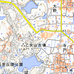
Although Suyama Kofun Burial Mound is outside the grounds of Umami Hills Park, it can be viewed from the southern area of the park. To reach the park, take Nara Kotsu Bus Route 43 from Goido Station on the Kintetsu Osaka Line to "Umami Hills Park" (Umami Kyuryo Koen).
You can also walk from the Taketori Park area. After you pass through Taketori Park, Suyama Kofun Burial Mound appears on your right, and continuing north leads directly to Umami Hills Park. For details regarding the tumuli inside the park, please refer to the Umami Hills Park guide.
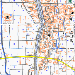
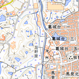
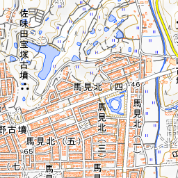
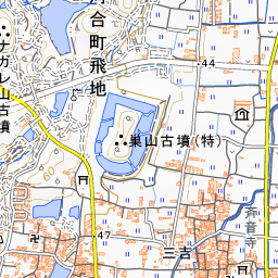
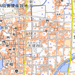
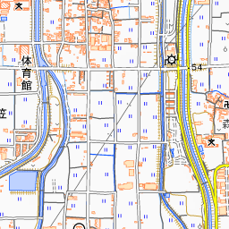
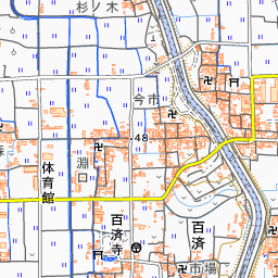
Spot location © OpenStreetMap contributors (ODbL)
Open in Google MapsGuides that include this spot (1)
Use asobot while you walk
- See where you are on the map and find spots nearby
- Listen to the guide's audio in course order, one after another (with subtitles)
- Walk to the next spot while following the map
Open on your phone
Scan to open this spot in asobot on your phone.