 ✨ AI Generated
Mt. Kongo
Japanese: 金剛山
Gose, Nara
This information was written by AI and may contain mistakes. Please check official sources for opening hours, fees, and other details before you go.
Found a mistake? Let us know with “✏️ Something's wrong” on this spot's screen in asobot →
🎧 Audio guide(1:01)
In short
Mt. Kongo stands at an elevation of 1,125 meters, running along the border between Osaka and Nara Prefectures, and is the highest peak of the Katsuragi Mountain Range. The area around the summit lies within Nara Prefecture. Near the summit are Tenporin-ji Temple, said to have been founded by En no Gyoja, and Katsuragi-jinja Shrine. As a sacred mountain counted among the Seven Sacred Mountains of Shugendo, it attracts approximately 1 million hikers each year.
- Summit Plaza: The plaza with the Kunimi Castle ruins, Tenporin-ji Temple, and shops serves as the summit area. The highest point, Katsuragidake, is sacred ground belonging to Katsuragi-jinja Shrine and is off-limits to visitors.
- Traces of Shugendo: On the peak of Yushutsudake, there is the 21st sutra mound of Katsuragi Shugen.
- Mountain Nature: A primeval beech forest thrives near the summit, and many hikers visit in winter to view the rime ice.
History and Highlights
Mt. Kongo (Kongo-san) is the highest peak of the Katsuragi Mountain Range, with an elevation of 1,125 meters. The mountain straddles the prefectural border between Osaka and Nara, with the area around the summit located in Nara Prefecture. In ancient times, it was also referred to as Mt. Katsuragi or Mt. Takama.
According to tradition, En no Ozunu climbed this mountain at the age of 16 and sensed its spiritual atmosphere. After a long period of ascetic training, he is said to have built Tenporin-ji Temple at the top, enshrining Hoki Bosatsu as its principal image. He also established Katsuragi-jinja Shrine, which enshrines his ancestral deity Hitokotonushi-no-Kami, as the temple's guardian shrine, making the mountain a sacred peak where Shinto and Buddhism harmonized. It is also said that "Mt. Kongo"—the mountain honorific name (sango) of Tenporin-ji Temple—became established as the name of the mountain itself.
Mt. Kongo was counted among the Seven Sacred Mountains of Shugendo and flourished as an ascetic training ground where women were barred from entering until the Meiji period. In 1473 (the 5th year of the Bunmei era), the monk Ikkyu Sojun climbed the mountain. The ruins of Chihaya Castle, where Kusunoki Masashige holed up to resist the forces of the Kamakura shogunate near the end of the Kamakura period, are also located near the hiking trail.
Although Tenporin-ji Temple was abandoned due to the separation of Shinto and Buddhism in the first year of the Meiji period (1868), it was restored in 1962 (Showa 37) with the cooperation of many people. Today, the mountain is visited by approximately 1 million hikers a year.
Viewing and Experience Points
- Summit Plaza: The highest point, Katsuragidake, is the sacred precinct of Katsuragi-jinja Shrine and cannot be entered. Because of this, the open plaza featuring the Kunimi Castle ruins, Tenporin-ji Temple, and shops is treated as the summit.
- Katsuragi-jinja Shrine and Tenporin-ji Temple: Katsuragi-jinja Shrine, standing atop Katsuragidake, is built in the Taisha-zukuri style, which is rare in the Kansai region. Tenporin-ji Temple is located to the west of the Katsuragidake peak.
- The Sutra Mound of Yushutsudake: The 21st sutra mound of Katsuragi Shugen is located at the peak of Yushutsudake, about a 30-minute walk east of the Mt. Kongo summit. Descending from the first torii gate of Katsuragi-jinja Shrine leads to a stone monument erected atop a stone foundation. This is the mountain where En no Ozunu is said to have spiritually perceived Hoki Bosatsu.
Travel Tips
Hiking routes mostly start from Chihayaakasaka Village in Osaka Prefecture, where the Chihaya Castle ruins are located. A typical route takes about 5 hours, ascending from the Kongo Mountain Trailhead on the Osaka side and descending toward Gose on the Nara side. There is also a route leading to the summit that takes the Fushimi Forest Road and stops at Chihaya Enchi Park along the way.
From Kawachinagano Station on the Nankai Koya Line, take a Nankai Bus bound for "Kongo-san (Fushimi-toge-guchi)" and join the hiking trail from the final stop. The Mt. Kongo Ropeway has been discontinued, so you climb on foot from the base of the mountain.
The hiking trails on the Nara Prefecture side are considered advanced, and beginners are advised not to enter them. Primeval beech forests grow near the summit, and many hikers visit during the winter to see the rime ice. Mt. Yamato-Katsuragi to the north is separated by Mizukoshi Pass. For information about Hitokotonushi-no-Okami, please see the description of Katsuragi Hitokotonushi-jinja Shrine.

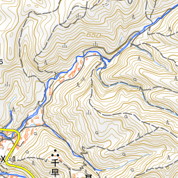
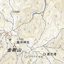
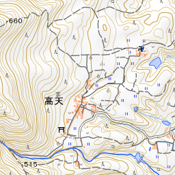
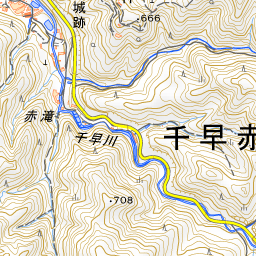
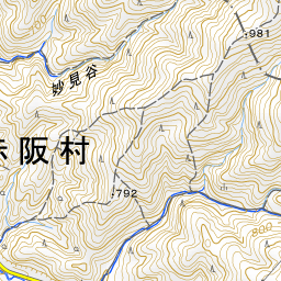
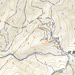

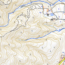
Spot location © OpenStreetMap contributors (ODbL)
Open in Google MapsUse asobot while you walk
- See where you are on the map and find spots nearby
- Listen to the guide's audio in course order, one after another (with subtitles)
- Walk to the next spot while following the map
Open on your phone
Scan to open this spot in asobot on your phone.