 ✨ AI Generated
Mt. Mihara
Japanese: 三原山
Oshima Town, Tokyo
This information was written by AI and may contain mistakes. Please check official sources for opening hours, fees, and other details before you go.
Found a mistake? Let us know with “✏️ Something's wrong” on this spot's screen in asobot →
🎧 Audio guide(0:58)
In short
Mt. Mihara is a central cone formed inside the caldera at the summit of Izu Oshima, an island that is entirely an active volcano. It took its current form during the Great An'ei Eruption of 1777–1778. The island's inhabitants have long revered the eruptions, referring to them as "Gojinka" (sacred fire).
- Ohachi-meguri (Crater Rim Walk): A trail is maintained along the crater rim, allowing visitors to see the pit-like crater up close, which measures 300 to 350 meters in diameter and about 200 meters deep.
- Black Streaks: The black streaks on the slopes are the traces of lava flows from the eruptions of 1950–1951 and 1986.
- Mihara-jinja Shrine: A torii gate comes into view as soon as you reach the summit; weather permitting, you can view Mt. Fuji through the torii.
History and Highlights
Mt. Mihara is a central cone—also referred to as an inner rim—formed inside the caldera at the summit of Izu Oshima, an island that is entirely an active volcano. It is a small volcanic cone standing about 150 meters high with a summit diameter of about 800 meters. The surrounding caldera is a depression 3 to 4.5 kilometers in diameter, and its current topography is thought to have been formed by a collapse about 1,700 years ago.
The current shape of Mt. Mihara was created during the Great An'ei Eruption of 1777–1778, through the accumulation of ejected magma spatter and large volcanic bombs. The large depression across the summit area is the crater, and toward its southern side lies a pit crater measuring 300 to 350 meters in diameter and approximately 200 meters deep. The small peak toward the southwest is Mihara Shinzan, the island's highest point at 758 meters above sea level, formed during the 1950–1951 eruptions. The black streaks visible on the slopes are the traces of lava flows from the 1950–1951 and 1986 eruptions.
The islanders have long worshipped the eruptions as "Gojinka" and called the crater "mihora." It is also said that the name Mt. Mihara was derived from this word "mihora."
On November 15, 1986, an eruption began on the south wall of the pit crater. A fissure eruption occurred on the 21st, and that night an evacuation order was issued to all residents to leave the island. Approximately 11,000 residents were forced to live as evacuees outside the island for about one month.
Viewing and Experience Points
- Ohachi-meguri: An "Ohachi-meguri trail" is maintained along the crater rim. From the southern crater observation point, you can view the bottom of the crater up close.
- Tip of the Lava Flow: Along the trail up the mountain, there is the leading edge of the lava that flowed out during the 1986 eruption, which visitors can actually climb on.
- Mihara-jinja Shrine: Upon reaching the summit, the torii gate of Mihara-jinja Shrine immediately comes into view. Under favorable conditions, Mt. Fuji can be seen framed within the torii. It is said that the shrine pavilion was spared as the lava avoided it during the eruption.
Walking Tips
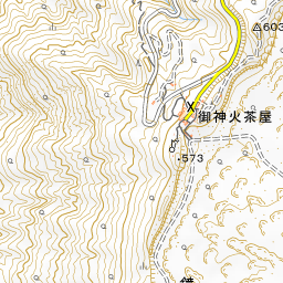
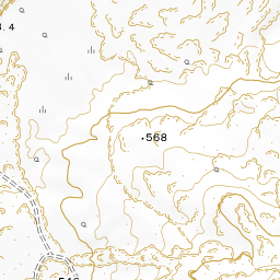
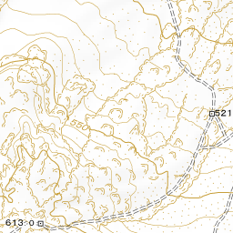
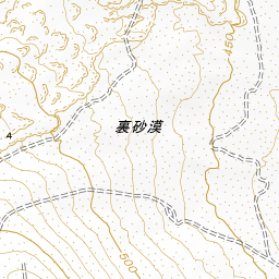
The walk starts at Mihara Sancho-guchi, where there is a bus stop and a parking area. First, take in a panoramic view of the caldera from the nearby Gairinzan Observation Deck. According to the model course of the Izu Oshima Geopark, climbing near the crater, doing the rim walk (Ohachi-meguri), and returning takes about 2 hours and 45 minutes as a guideline. There is almost no shade along the path. Bring a hat and drinks, and wear comfortable walking shoes. Please be cautious on windy days. The Ura-sabaku Desert is about 2 kilometers east-northeast of Mt. Mihara. A course that visits the Ura-sabaku Desert after the crater rim walk and continues on to the Oshima Onsen Hotel takes approximately 3 hours and 30 minutes as a guideline.



Guides that include this spot (1)
Use asobot while you walk
- See where you are on the map and find spots nearby
- Listen to the guide's audio in course order, one after another (with subtitles)
- Walk to the next spot while following the map
Open on your phone
Scan to open this spot in asobot on your phone.