 ✨ AI Generated
Komazawa Olympic Park
Japanese: 駒沢オリンピック公園
Setagaya City, Tokyo
This information was written by AI and may contain mistakes. Please check official sources for opening hours, fees, and other details before you go.
Found a mistake? Let us know with “✏️ Something's wrong” on this spot's screen in asobot →
🎧 Audio guide(0:51)
In short
Komazawa Olympic Park is a park that spans Setagaya and Meguro Wards in Tokyo. Serving as the secondary venue for the 1964 Tokyo Olympics, it hosted events such as wrestling and volleyball. Following the games, it was opened as a park and is widely enjoyed as an athletic park where lush greenery harmonizes with numerous sports facilities.
- Olympic Memorial Tower: A 50-meter-tall tower standing in the central square, featuring an appearance reminiscent of a five-story pagoda. During the games, traffic control for transporting spectators was conducted from the control room on the top floor.
- Central Square and Olympic Cauldron: A public square facing the gymnasium and the Memorial Tower, with the Olympic cauldron still preserved beside the Memorial Tower.
- Tokyo Olympic Memorial Gallery: Exhibits materials related to the Olympic Games, focusing primarily on the 1964 games.
History and Highlights
This site was once home to the Komazawa Golf Course. During the war, it served as an air defense green space, and in 1949 (Showa 24), handball courts and a field hockey ground were constructed as venues for the 4th National Sports Festival. This marked the beginning of today's general sports ground.
When Tokyo was chosen to host the Olympic Games, full-scale renovation and development were carried out to turn the site into the secondary venue. Six facilities, including a track and field stadium, a gymnasium, and an indoor sports arena, were constructed, serving as venues for soccer, wrestling, volleyball, and field hockey during the 1964 (Showa 39) games. The indoor sports arena was the stage where the Japan women's national volleyball team, known as the "Witches of the Orient," won the gold medal. The current indoor sports arena is a reconstructed facility completed in 2017.
In December 1964 (Showa 39), after the games concluded, the park opened on the site of the venue. Today, it has become a comprehensive athletic ground with 12 sports facilities. During the 2021 Tokyo Olympics, it was used as an official soccer practice venue.
Viewing and Experience Points
- Olympic Memorial Tower: Standing in the central square, this tower measures 50 meters in height, with 12 stories above ground and one basement level. With a design reminiscent of a five-story pagoda, it was designed by architect Ashihara Yoshinobu. During the games, the top floor served as a control room from which spectator transport traffic was managed. Still referred to as the "control tower" today, it controls the park's electricity, gas, water supply, and communications.
- Central Square and Olympic Cauldron: Covering approximately 20,000 square meters, the central square faces the gymnasium and the Memorial Tower. Beside the Memorial Tower, the Olympic cauldron remains preserved. Mainly on weekends, it also serves as a venue for events such as flea markets.
- Tokyo Olympic Memorial Gallery: Exhibits materials related to the Olympic Games, centered on the 1964 games. It opened in 1993 (Heisei 5) concurrently with the full reconstruction of the gymnasium.
Walking Tips
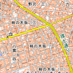
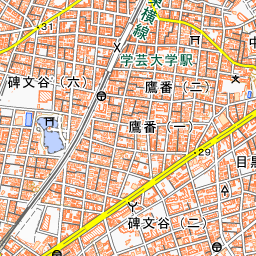
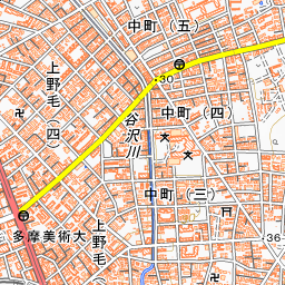
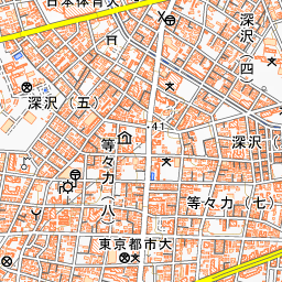
It is about a 15- to 25-minute walk from Komazawa-daigaku Station on the Tokyu Den-en-toshi Line. The park is very large; it takes about 15 minutes to reach the track and field stadium, and about 25 minutes to get to the baseball stadium or the indoor sports arena. Inside the park, there is also a cycling course of about 2 kilometers per lap. Opposite the restaurant inside the west entrance stands a large Kobushi magnolia, selected among the 100 Famous Trees of Setagaya, which turns entirely white during its spring flowering period. Near the entrance to Parking Lot 1 stands the "Space Zelkova." Seeds collected in the park traveled into space aboard a space shuttle in 2008, and the sapling grown from them was planted here.
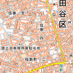
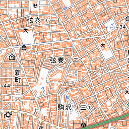
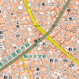
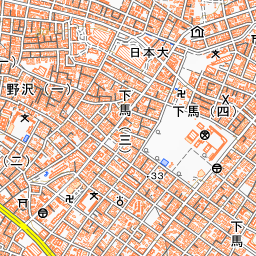
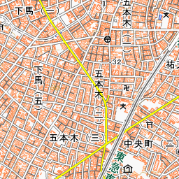
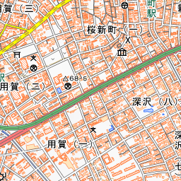
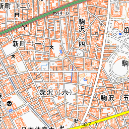
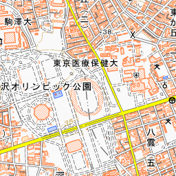
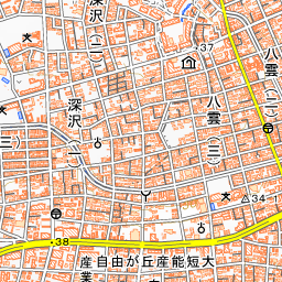
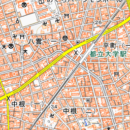
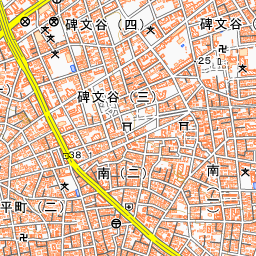
Spot location © OpenStreetMap contributors (ODbL)
Open in Google MapsUse asobot while you walk
- See where you are on the map and find spots nearby
- Listen to the guide's audio in course order, one after another (with subtitles)
- Walk to the next spot while following the map
Open on your phone
Scan to open this spot in asobot on your phone.