
Tezukayama Kofun Burial Mound
Japanese: 帝塚山古墳
Sumiyoshi Ward, Osaka
This information was written by AI and may contain mistakes. Please check official sources for opening hours, fees, and other details before you go.
Found a mistake? Let us know with “✏️ Something's wrong” on this spot's screen in asobot →
🎧 Audio guide(1:07)
In short
One of the few keyhole-shaped burial mounds still remaining on the Uemachi Plateau in the city of Osaka. Possessing the characteristics of the mid-Kofun period, it is believed to have been constructed during the 5th century based on its haniwa and the shape of the mound. For a burial mound in an urban area, it retains its original form relatively well, and due to its high academic value, it was designated as a National Historic Site in 1963 (Showa 38).
- Size of the Mound: According to the national designation explanation, the main axis is about 88 m long, the diameter of the rear circular part is about 49 m, and the height is about 9 m. According to information from Osaka Prefecture, the mound is said to have a scale close to 100 m in length
- Haniwa and Traces of the Surrounding Moat: The mound has fukiishi (stones covering the slopes of the mound) and haniwa, and rows of cylindrical haniwa still remain. It is also known that a moat once surrounded the mound, and traces of it are preserved in parts of the surroundings
- The Person Buried Here: Guides provided by the city of Osaka also state that while there is a tradition that it is the grave of Otomo no Kanamura, this remains unclear
History and Highlights
Tezukayama Kofun Burial Mound is one of the few keyhole-shaped burial mounds (zenpo-koen-fun) still remaining on the Uemachi Plateau in the city of Osaka.
Possessing the characteristics of the mid-Kofun period, it is believed to have been constructed during the 5th century based on the shape of the mound and the haniwa (terracotta clay figures). The burial facility for the person interred inside is unknown. For a tumulus situated in an urban area, it retains a relatively good portion of its original form, and due to its high academic value, it was designated as a National Historic Site in 1963 (Showa 38).
Regarding the person buried here, there seems to have been a theory during the Edo period suggesting it was the grave of Otomo no Kanamura, who was active in the first half of the 6th century; however, the dates do not match. Guides provided by the city of Osaka also state that while there is a tradition claiming it to be the grave of Otomo no Kanamura, it remains unconfirmed.
Viewing and Experience Points
- Size of the Mound: The front square part faces southwest. According to the national designation explanation, the main axis is about 88 m long, the diameter of the rear circular part is about 49 m, and the height is about 9 m. According to information from Osaka Prefecture, the mound is said to have a scale close to 100 m in length.
- Traces of Haniwa and Surrounding Moat: It is known that the mound had fukiishi (stones covering the slopes of the mound) and haniwa, and that it was surrounded by a moat. Rows of cylindrical haniwa still remain on the mound, and traces of the moat are preserved in some of the surrounding areas.
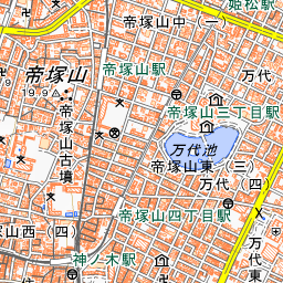
- A Burial Mound in a Residential Area: A photograph taken in 1937 (Showa 12) clearly captures the overall shape of the tumulus before the current residential neighborhood surrounded it. Today, that residential district surrounds the burial mound.
Walking Tips
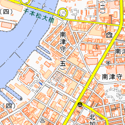
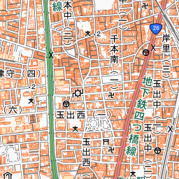
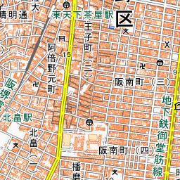
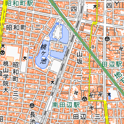
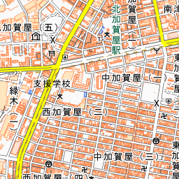
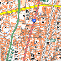
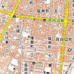
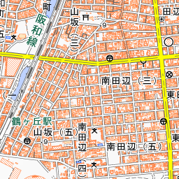
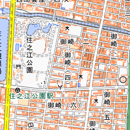
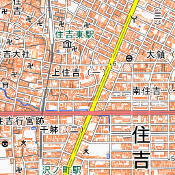
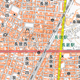
Get off at Tezukayama Station on the Nankai Koya Line and walk about 100 m to the west. About 830 m to the north is Abeno-jinja Shrine, and walking about 990 m to the south brings you to Sumiyoshi-taisha Shrine. You can enjoy a walk that combines visiting the ancient tumulus remaining on the Uemachi Plateau with historic shrines in Sumiyoshi.


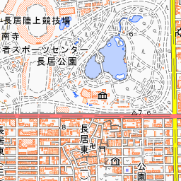
Spot location © OpenStreetMap contributors (ODbL)
Open in Google MapsUse asobot while you walk
- See where you are on the map and find spots nearby
- Listen to the guide's audio in course order, one after another (with subtitles)
- Walk to the next spot while following the map
Open on your phone
Scan to open this spot in asobot on your phone.