 ✨ AI Generated
Mt. Yamato-Katsuragi
Japanese: 大和葛城山
Gose, Nara
This information was written by AI and may contain mistakes. Please check official sources for opening hours, fees, and other details before you go.
Found a mistake? Let us know with “✏️ Something's wrong” on this spot's screen in asobot →
🎧 Audio guide(1:03)
In short
Mt. Yamato-Katsuragi is a 959-meter-high mountain situated on the border between Nara and Osaka Prefectures. The area near the summit forms a plateau, blanketed with a massive community of azaleas said to number around one million. A ropeway provides access from the Gose City side, and a 360-degree panoramic view can be enjoyed from the peak.
- A Million Azaleas at a Glance: Every May, azaleas bloom across the slopes stretching south from the summit. This scenery is often likened to "a million blossoms in a single glance."
- View from the Summit: To the east lies the Yamato Plain, to the south Mt. Kongo and the Yoshino Mountains, and to the west the Osaka Plain extending to Osaka Bay.
- Autumn Susuki Grass and Winter Rime Ice: In autumn, the area near the summit is covered in Japanese pampas grass (susuki), and in winter, frost-covered trees (rime ice) can sometimes be seen upon exiting the ropeway.
History and Highlights
Mt. Yamato-Katsuragi is a mountain on the border between Nara and Osaka Prefectures. Reaching an elevation of 959 meters, it is a peak in the Kongo Mountains. Just to its south across Mizukoshi Pass lies Mt. Kongo. The area near the summit forms a highland often called the Katsuragi Plateau.
In ancient times, Mt. Kongo and this mountain were together referred to as Mt. Katsuragi. In his travelogue Sugagasa no Nikki, Edo-period scholar Motoori Norinaga noted that after En no Ozunu built Tenporin-ji Temple atop the present Mt. Kongo, that peak came to be called Mt. Kongo. For a period in the past, Mt. Yamato-Katsuragi was known as Mt. Kaina.
In 1967, a ropeway opened from the Gose City side, and accommodation facilities were developed. Today, the mountain bustles with many hikers, particularly during the May azalea season. Near the summit is also a colony of Asian fawnlilies (katakuri), a plant that has become increasingly rare in the Kinki region.
Viewing and Experience Highlights
- A Million Azaleas at a Glance: Azaleas bloom from the summit down across the southern slope like a vast crimson carpet. Mainly composed of Kaempfer azaleas (yamatsutsuji), the display also includes kobanomitsubatsutsuji, miyakotsutsuji, and mochitsutsuji, typically reaching peak bloom around mid-May.
- View from the Summit: Visitors can gaze out over the Yamato Plain to the east, Mt. Kongo and the Yoshino Mountains to the south, and the Osaka Plain all the way to Osaka Bay to the west. This vista is designated as a Nara Prefecture Landscape Asset. During the azalea season, one can look south and view the azaleas alongside Mt. Kongo. The night view is also a highlight.
- Autumn Susuki Grass and Winter Rime Ice: In autumn, Japanese pampas grass blankets the vicinity of the summit. In winter, under specific weather conditions, rime ice can be seen after exiting the ropeway, with the best viewing typically said to be in late January.
Visiting Tips
Taking a bus bound for Katsuragi Ropeway-mae from in front of Kintetsu Gose Station will bring you to the trailhead in 15 minutes. The Katsuragi Mountain Ropeway takes about 6 minutes to reach the upper station, offering views of the Yamato Basin below and the Yamato Sanzan Mountains in the distance. The mountain summit is about a 15-minute walk from the upper station.
During peak azalea season, the area becomes quite crowded, with peak congestion occurring from around 10:00 a.m. to 2:00 p.m. There are times when waiting for the ropeway takes several hours. You can avoid the crowds by taking the ropeway up in the evening, staying overnight at Katsuragi Kogen Lodge, and enjoying the azaleas the next morning.
If you plan to hike up and down on foot, light footwear such as sandals or sneakers is dangerous. Wear hiking or trekking shoes, and bring rainwear and warm clothing as mountain weather changes easily. Along the ridge runs the maintained Diamond Trail, which connects Donzurubo, Mt. Nijo, Mt. Yamato-Katsuragi, Mt. Kongo, and other peaks.
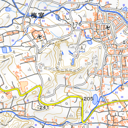
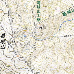
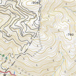
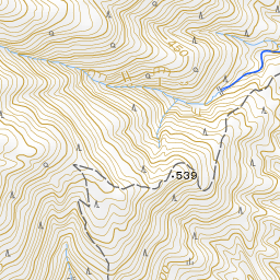
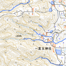
Spot location © OpenStreetMap contributors (ODbL)
Open in Google MapsGuides that include this spot (1)
Use asobot while you walk
- See where you are on the map and find spots nearby
- Listen to the guide's audio in course order, one after another (with subtitles)
- Walk to the next spot while following the map
Open on your phone
Scan to open this spot in asobot on your phone.