 ✨ AI Generated
Tokyo Metropolitan Nogawa Park
Japanese: 東京都立野川公園
Koganei, Tokyo
This information was written by AI and may contain mistakes. Please check official sources for opening hours, fees, and other details before you go.
Found a mistake? Let us know with “✏️ Something's wrong” on this spot's screen in asobot →
🎧 Audio guide(1:06)
In short
Tokyo Metropolitan Nogawa Park is a metropolitan park spanning approximately 40 hectares across Chofu City, Koganei City, and Mitaka City. Utilizing land that was once a golf course for the International Christian University, it opened in 1980 (Showa 55). The Nogawa River flows through the grounds, and on the north side lies the Nature Observation Garden nurtured by spring waters from the Kokubunji Cliff Line.
- Nature Observation Garden: Groundwater wells up from beneath the cliff, where golden orchids bloom in spring and red spider lilies bloom in autumn.
- The Nogawa River Flow: With a river width of about 10 meters, the Nogawa River gently curves, offering river scenery visible from riverside paths and bridges.
- Lawn Plazas on the Former Golf Course Site: In the vast open lawn areas, there are groves and coppice woodlands of sawtooth oak (kunugi) and jolcham oak (konara).
History and Highlights
Tokyo Metropolitan Nogawa Park is a metropolitan park straddling Nomizu in Chofu City, Higashi-cho in Koganei City, and Osawa in Mitaka City. It covers an area of approximately 40 hectares.
Its predecessor was the golf course of the International Christian University. The golf course was purchased in 1974 (Showa 49) and opened as a park on June 1, 1980 (Showa 55). As a park that makes use of the former golf course site, it is characterized by vast lawn plazas and wooded areas.
The northern area of the park is greenery along the slope of the Kokubunji Cliff Line. The Kokubunji Cliff Line is a river terrace formed long ago when the Tama River eroded the Musashino Upland, and it is also called "hake." Groundwater wells up from below this cliff, and the park preserves this area as a nature reserve. Between the cliff line and the Nogawa River lies the Nature Observation Garden, where precious flora and fauna are protected with the cooperation of volunteers and others. Activities to protect and foster living creatures, such as fireflies, are also carried out within the grounds.
Tohachi Road traverses the center of the park from east to west. Because the road is built in an excavation cut, the cars driving along it cannot be seen from inside the park. Three bridges span Tohachi Road.
Viewing and Experience Points
- Nature Observation Garden: Divided areas suited to plant characteristics are scattered throughout, such as "Kinran no Sato" (Golden Orchid Hamlet), "Nanakusayama" (Seven Herbs Hill), and "Katakuriyama" (Trout Lily Hill). Golden orchids bloom in spring and red spider lilies bloom in autumn, with some years seeing the counted red spider lilies reach approximately 19,000 stalks. In the "Wakimizu Hiroba" (Spring Water Plaza), spring water from the Kokubunji Cliff Line flows year-round.
- Nogawa River: The river width is about 10 meters. It flows through the park in gentle curves. Grass grows along both banks, allowing visitors to enjoy close-to-natural river views from the waterside paths and bridges.
- Lawn Plazas: Areas developed from the former golf course site, divided into sections such as Ikoi no Hiroba (Rest Plaza), Wanpaku Hiroba (Playground Plaza), the Big Lawn, and Jiyu Hiroba (Free Plaza). They feature copse woods of sawtooth oak and jolcham oak, as well as groves of katsura trees and Japanese zelkova.
Walking Tips
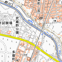
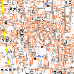
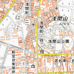
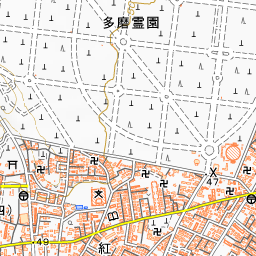
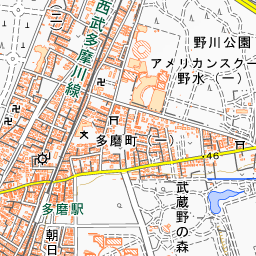
It is about a 15-minute walk from Shin-Koganei Station or Tama Station on the Seibu Tamagawa Line. Across the Nogawa River opposite the Nature Observation Garden stands the Nature Observation Center. Established together with the Nature Observation Garden in 1988, it was rebuilt in November 2024. The Seibu Tamagawa Line runs along the west side of the park, beyond which lies Tokyo Metropolitan Musashino Park. Approximately 550 meters to the south is the Kondo Isami Birthplace Site, and about 840 meters to the south-southeast is the Mitaka City Osawa-no-Sato Watermill Farmhouse.
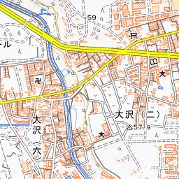
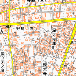
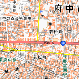
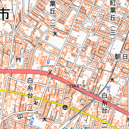

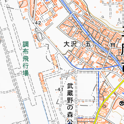
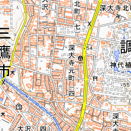
Spot location © OpenStreetMap contributors (ODbL)
Open in Google MapsUse asobot while you walk
- See where you are on the map and find spots nearby
- Listen to the guide's audio in course order, one after another (with subtitles)
- Walk to the next spot while following the map
Open on your phone
Scan to open this spot in asobot on your phone.