 ✨ AI Generated
Mt. Hiba
Japanese: 比婆山
Shobara, Hiroshima
This information was written by AI and may contain mistakes. Please check official sources for opening hours, fees, and other details before you go.
Found a mistake? Let us know with “✏️ Something's wrong” on this spot's screen in asobot →
🎧 Audio guide(1:01)
In short
Mt. Hiba is a mountain in the Chugoku Mountains, located in northern Shobara near the border with Shimane Prefecture. At its summit is a site said to be the tomb of Izanami-no-Mikoto, and that peak stands at an elevation of 1,264 meters. According to one theory, it is the "Hiba-no-yama" recorded in the Kojiki, and it has attracted devotion since ancient times.
- The Tomb and Japanese Yew Grove: Surrounded by beech forests, the center of the rounded knoll at the summit features a large, moss-covered rock said to be the tomb, and the area is designated as a Historic Site by Hiroshima Prefecture as the "Mt. Hiba Legendary Site." Near the tomb lies a grove of Japanese yew trees, designated as a natural monument by Shobara City
- Nationally Designated Natural Monument Pure Beech Forest: The pure beech forest stretching across Mt. Hiba was designated as a national Natural Monument in 1960. It offers bright fresh greenery from spring to early summer, and stunning autumn foliage tinted in yellow, orange, and red
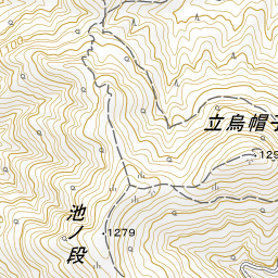
- Mountain Range Trekking: Surrounding it are peaks around 1,200 meters high, including Mt. Eboshi, Mt. Tateeboshi, and Ikenodan, collectively known as the Mt. Hiba mountain range. The peaks are connected by hiking trails, allowing visitors to enjoy walks across several summits
History and Highlights
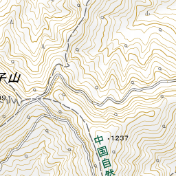
Mt. Hiba is a mountain in the Chugoku Mountains, located in northern Shobara near the border with Shimane Prefecture. Its summit, standing at an elevation of 1,264 meters, is home to a site said to be the tomb of Izanami-no-Mikoto. Surrounding it are peaks around 1,200 meters high, including Mt. Eboshi, Mt. Tateeboshi, and Ikenodan, collectively known as the Mt. Hiba mountain range. These peaks are also referred to collectively as "Mt. Hiba," with Mt. Tateeboshi being the tallest among them. To the west of Mt. Eboshi stands Mt. Azuma, and the entire area is part of Hiba-Dogo-Taishaku Quasi-National Park.
The Kojiki (Records of Ancient Matters) states that the deceased Izanami-no-Mikoto was buried on "Mt. Hiba" (Hiba-no-yama) on the border between the ancient provinces of Izumo and Hoki. According to one theory, this Mt. Hiba is that very site, and it has attracted devotion since ancient times. From the end of the Edo period to the Meiji era, worshippers are said to have climbed the mountain from the San'in, San'yo, and Kyushu regions. Surrounded by beech forests, the center of the rounded knoll at the summit features a large, moss-covered rock believed to be the tomb, and the area is designated as a Historic Site by Hiroshima Prefecture as the "Mt. Hiba Legendary Site."
Sights and Activities
- The Tomb and Japanese Yew Grove: Near the summit tomb lies a grove of Japanese yew trees, designated as a natural monument by Shobara City. Experience the quiet atmosphere unique to this mythological mountain, enveloped by forests of beech and yew.
- Nationally Designated Natural Monument Pure Beech Forest: The pure beech forest stretching across Mt. Hiba was designated as a national Natural Monument in 1960. The Japanese beech is also the official municipal tree of Shobara City. It offers brilliant fresh greenery from spring to early summer, and stunning autumn foliage tinted in yellow, orange, and red.
- Mountain Range Trekking: The peaks of the Mt. Hiba mountain range are connected by hiking trails, allowing visitors to enjoy walks across several summits. In autumn, the foliage begins to color around the summits and gradually spreads down toward the base of the mountains.
Travel Tips
Base points for trekking are the Hiroshima Kenmin-no-Mori Forest Park at the foot of the mountain and the parking lot at the trailhead for Mt. Tateeboshi. Mountain weather can change quickly, so please prepare sturdy footwear and rain gear, and hike with plenty of time to spare. Facilities at the forest park are introduced under the "Hiroshima Kenmin-no-Mori Forest Park" entry, and the shrine from which worshippers have revered the mountaintop tomb from the foot of the mountain is introduced under the "Kumano-jinja Shrine" entry.
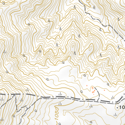
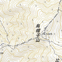
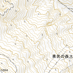
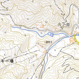
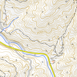
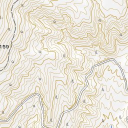
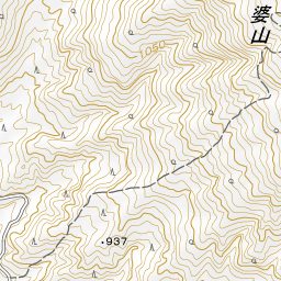
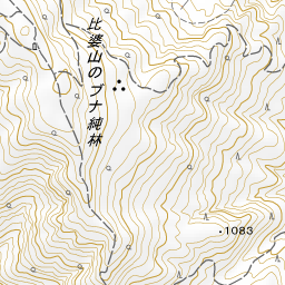
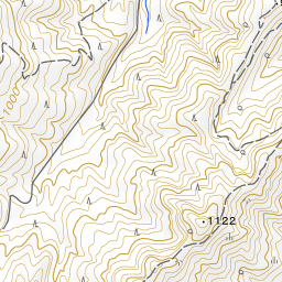
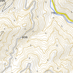
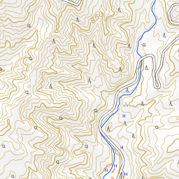
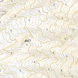
Spot location © OpenStreetMap contributors (ODbL)
Open in Google MapsUse asobot while you walk
- See where you are on the map and find spots nearby
- Listen to the guide's audio in course order, one after another (with subtitles)
- Walk to the next spot while following the map
Open on your phone
Scan to open this spot in asobot on your phone.